


- Browse Categories
- YQFH Drone
- DJI Drone
- Other Drone
- Drone Payloads
- Robot
- Pipeline Detection Instrument
- 3D Laser Scanner
- Industrial Measurement Devices
- Weather Station Series
- Optical Survey Instruments
- GNSS RTK & CORS System
- BDS System Products
- Visual Displacement Monitoring System
- UWB Indoor Positioning System
- Hydrology Products
- Others
- Spectrometer
- Wet Blast Machine
- SDI Soil Tester
- Pengjin Smart Flying Drone Patrol and Inspection System
- Supercomputing
- Module
- Viscometer
- Electric Hygro-thermograph
- Echo Sounder
- Processing Software
- Keson Measuring Tools
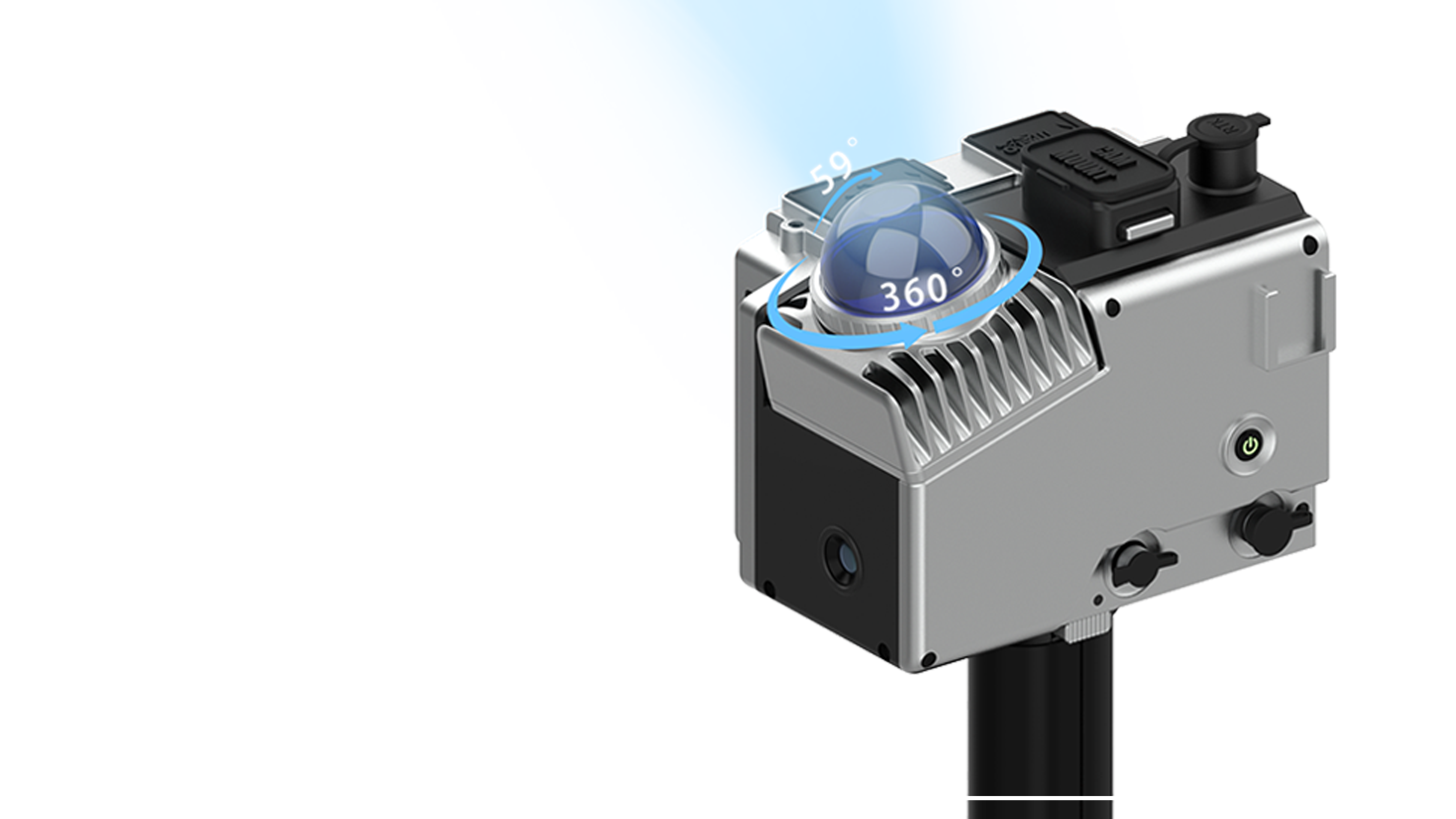
3D Laser Scan Mobile Measurement System GOSLAM M40
- Scanning distance: 40m @ 10% reflectance / 70m @ 80% reflectance
- Scan speed: 20 million points/sec
- Point accuracy: 1cm (max)
- Point resolution: 2mm (max)
- Scan range: 360° x 59°
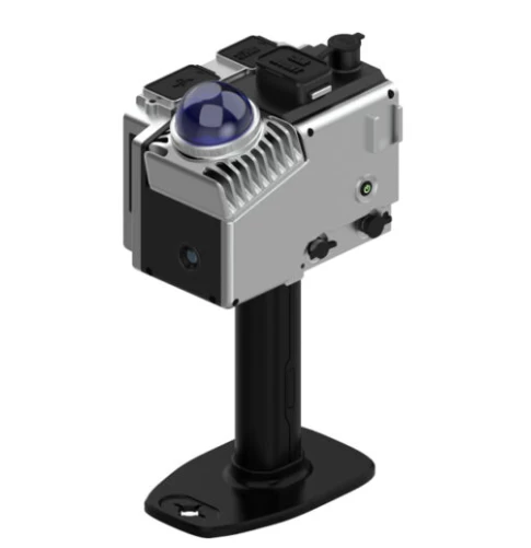
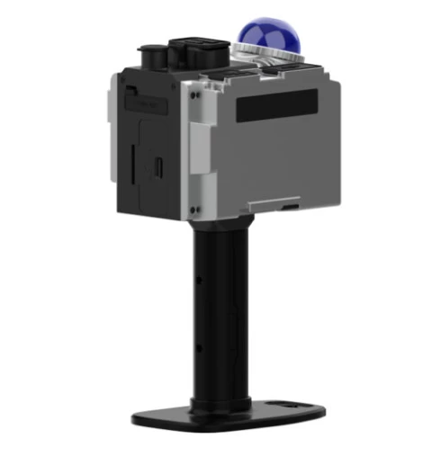
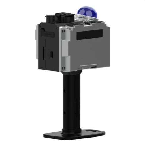
Goslam M40
3D Laser Scan Mobile Measurement System
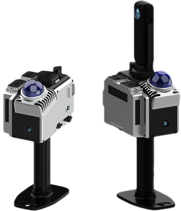
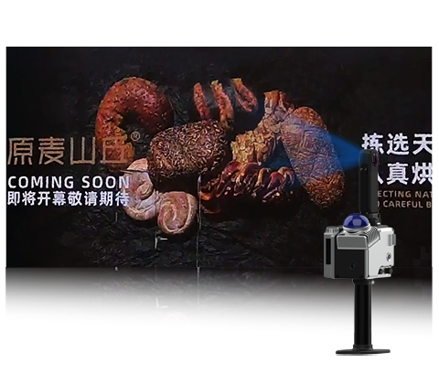
The Goslam M40 combines the lightweight design with the flexibility of a handheld headset. It uses advanced fixed LIDAR technology and offers a convenient scan experience with a compact, streamlined design. The Goslam M40 has a stylish look, exquisite details, focusing on wearing comfort and simple operation, helping users to complete fine 3D scans efficiently.
![]()
High precision
![]()
Weather resistance

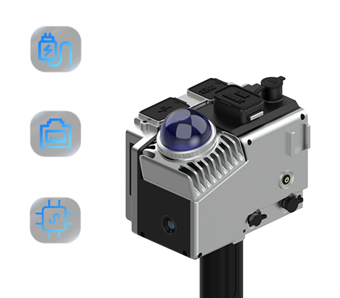
Integrated Design
![]()
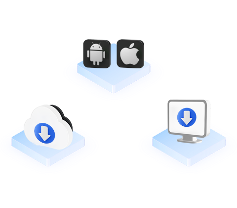
Multi-Platform Support
![]()
Remote monitoring
![]()
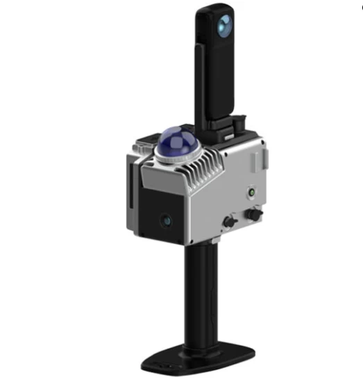
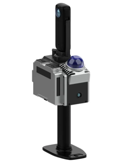
Single laser head
Powerful performance
The scan radius can reach 70m, and at this distance accuracy can reach up to 1cm. Additionally, the device has a scan frequency of 200,000 points/sec and a scan range of 360°X59°, fully demonstrating its powerful comprehensive performance.
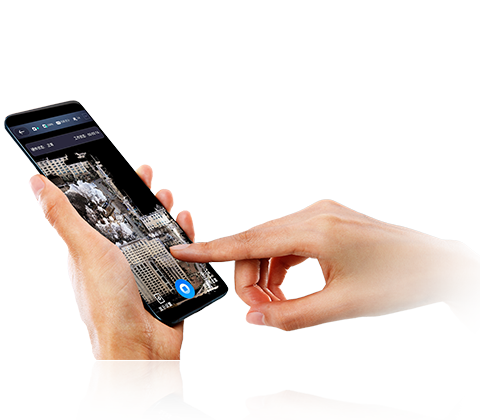
Real-time Color Point Cloud
During operation, the scanned color point cloud data can be viewed in real time via the app, and can export color point cloud data directly without resolving
Real-time colours, accurate presentation
The built-in high-resolution color image sensor allows you to scan and display true color point cloud data in real time. It can also be combined with an 8K level panoramic color imaging module to create detailed and realistic data as seen with your own eyes.
Open design
It supports open design, external power and Ethernet port output, and can provide the GoSlam SDK protocol.
Cross-platform support, easy operation
Whether it's an Android or I0S system, all you need to do is control scans on your phone to preview the point cloud and data results in real time. Supports post-calculation, high-precision dual modes on devices and desktops to meet the accuracy requirements of various users.
Post-processing software support
Standard post-processing application process
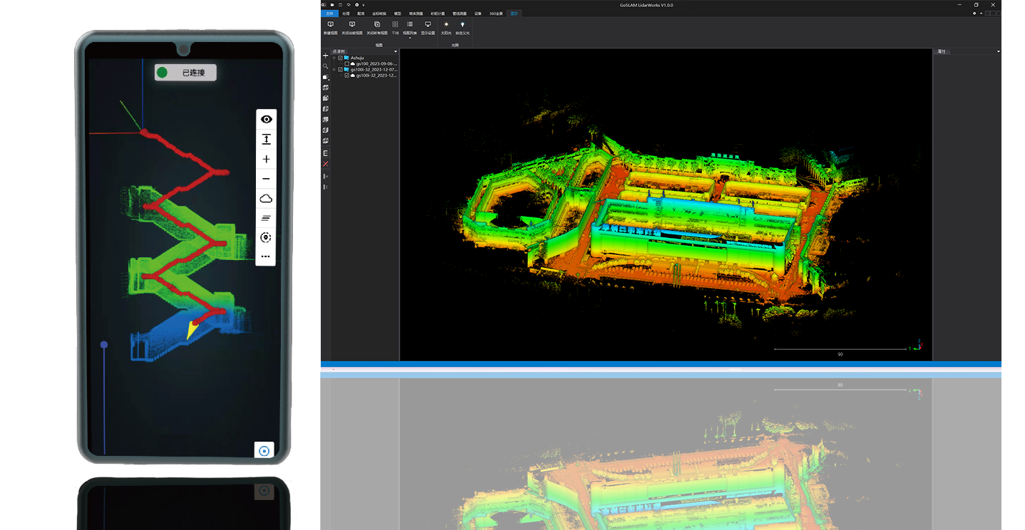
Goslam Lidarworks This is a companion software of the GOSLAM series of mobile 3D scanners that integrate device applications and point cloud processing.
The software has basic features such as point cloud data browsing, optimization, and format conversion. It also allows you to complete splicing and merging of multiple data sets, developing special application features for volume measurement and mapping, effectively improving the efficiency of data processing. Efficiency and accuracy.
parameter

- Other Products


