


- Browse Categories
- YQFH Drone
- DJI Drone
- Other Drone
- Drone Payloads
- Robot
- Pipeline Detection Instrument
- 3D Laser Scanner
- Industrial Measurement Devices
- Weather Station Series
- Optical Survey Instruments
- GNSS RTK & CORS System
- BDS System Products
- Visual Displacement Monitoring System
- UWB Indoor Positioning System
- Hydrology Products
- Others
- Spectrometer
- Wet Blast Machine
- SDI Soil Tester
- Pengjin Smart Flying Drone Patrol and Inspection System
- Supercomputing
- Module
- Viscometer
- Electric Hygro-thermograph
- Echo Sounder
- Processing Software
- Keson Measuring Tools
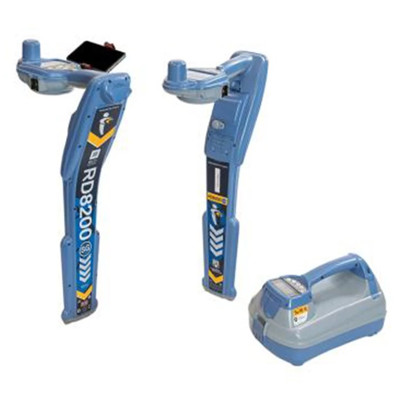
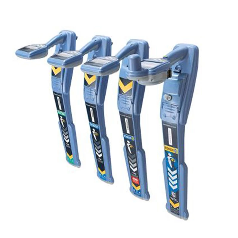
RD8200SG Locker of Grade
Cartography and digital solutions
Precision location beach
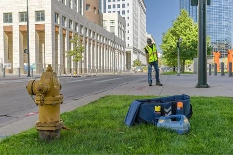
RD8200SG - The survey allows you to find and map the public services buried in a single operation. The RD8200SG is our most advanced solution combining cartography with the location of public facilities, allowing users to map the public facilities buried with a grade of investigation.

Create a card in your own way
Flexibility is at the heart of our mapping solutions, allowing our customers to choose the solution that best suits their business. We provide turnkey solutions for new users in the world of public services cartography, allowing public services cartography to connect to advanced systems.
Flexible use of systems adapted to companies
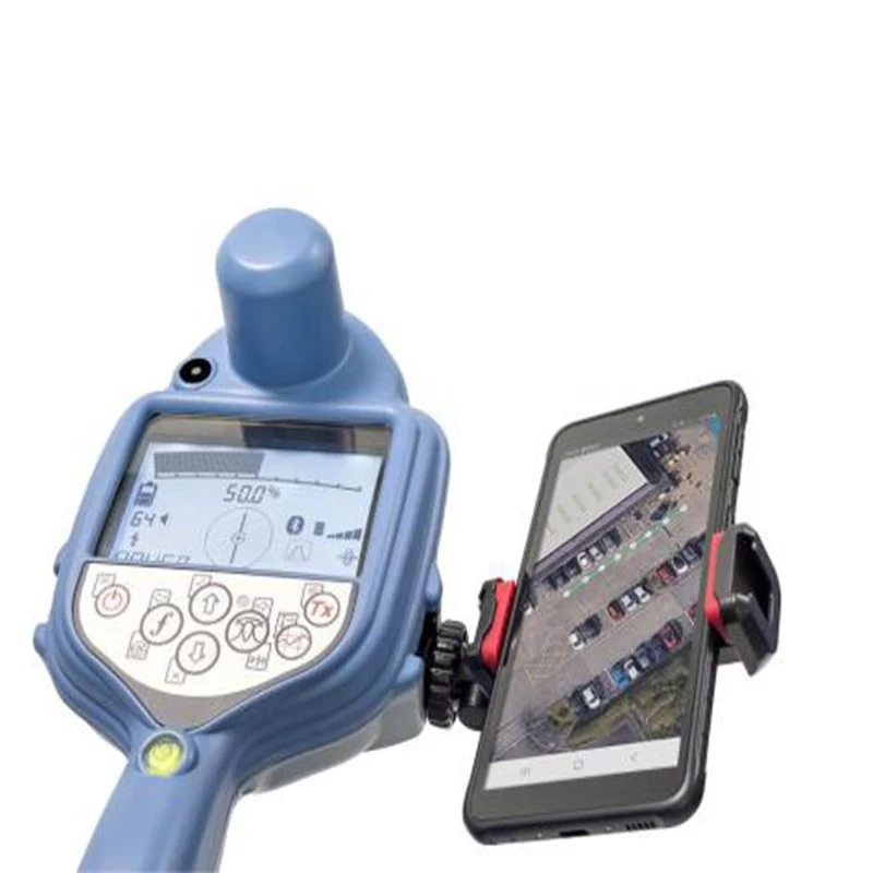
Choose your favorite mobile application and fix the service provider. Standard industry file formats used in MAP software. Use RD Manager online to export the data directly from the locator. Use any Android smartphone or tablet * * A minimum operating system is required.
Find an expert. Integrates the mapping into the utility research procedure.
Build a complete inventory of large networks of buried infrastructure. Additional training for electricity companies is minimal. The mapping of public services does not require any other resource.
Expert in cartography. Integrate utility research into the mapping procedure.
Walk along the line once. Cartography and location of public facilities simultaneously without compromising quality. Find locations as precisely as possible and map them as precisely as possible.
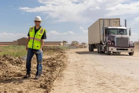
Designed for continuous use in the field
Integrated GNSS antenna. Automatic antenna offset prevents backward tilt. A bubble that reaches optimal precision.
Use the RD8200SG for you
Display and create a card on your mobile phone. Flexible solutions allow you to work with any Fix Service provider and cartography solution. It works where mobile phone data and correction services are available.
Ergonomic design, superior quality
Light and ergonomic design. Robust design for real situations such as rain, dirt and extreme temperatures. Designed and manufactured in the United Kingdom.

- Other Products


