- Browse Categories
- YQFH Drone
- DJI Drone
- Other Drone
- Drone Payloads
- Robot
- Pipeline Detection Instrument
- 3D Laser Scanner
- Industrial Measurement Devices
- Weather Station Series
- Optical Survey Instruments
- GNSS RTK & CORS System
- BDS System Products
- Visual Displacement Monitoring System
- UWB Indoor Positioning System
- Hydrology Products
- Others
- Spectrometer
- Wet Blast Machine
- SDI Soil Tester
- Pengjin Smart Flying Drone Patrol and Inspection System
- Supercomputing
- Module
- Viscometer
- Electric Hygro-thermograph
- Echo Sounder
- Processing Software
- Keson Measuring Tools
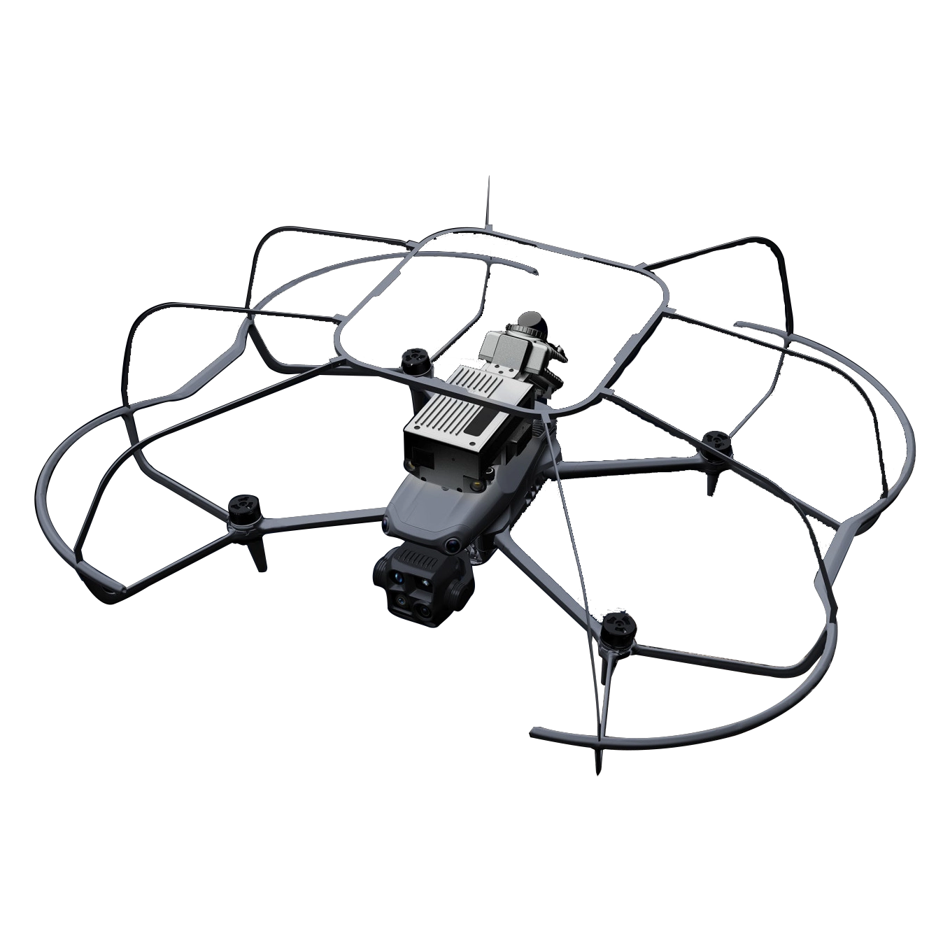
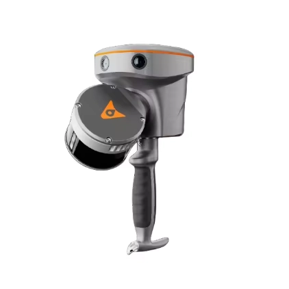
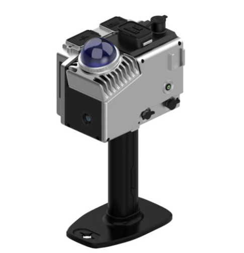
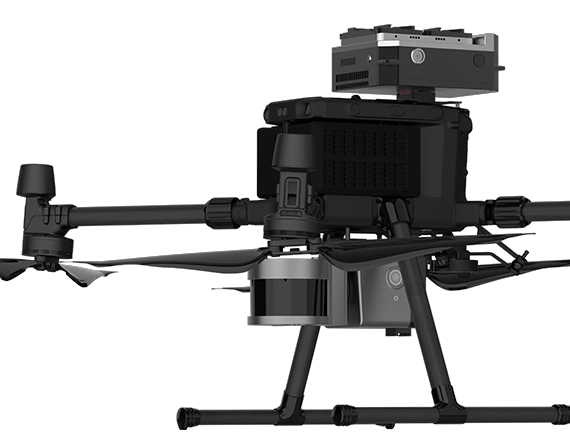
Lightweight LiDAR Solution GOSLAM X1 Special for DJI Matrice 4E & DJI Matrice 4T
- • Technology: Advanced GoSLAM Algorithm with 3D Gaussian Splatting Engine
- • Data Output: Real-Time Color Point Cloud Synchronized on Remote Controller
- • Feature: Break-Point Resume Scanning Technology (No Secondary Stitching)
- • Connectivity: X1 5G Version for Cloud-Based Real-Time Browsing & Measurement
- • OEM/ODM Scope: Branded Housing Customization, Customized UAV Payload Mounts, SDK/API Integration Support.
Lightweight LiDAR Solution GOSLAM X1 Special for DJI Matrice 4E & DJI Matrice 4T
1. Key Features:
- Point Cloud Data Can Be Viewed In Real Time On Remote Controller
Operators can intuitively grasp the dynamics of the working scene, view theflight scanning point cloud data in real time, and quickly adjust the flight path,greatly improving the safety and convenience of operation, and can completereal-time control without relying on additional equipment.
- Compact Size,Easily Handles Small Space
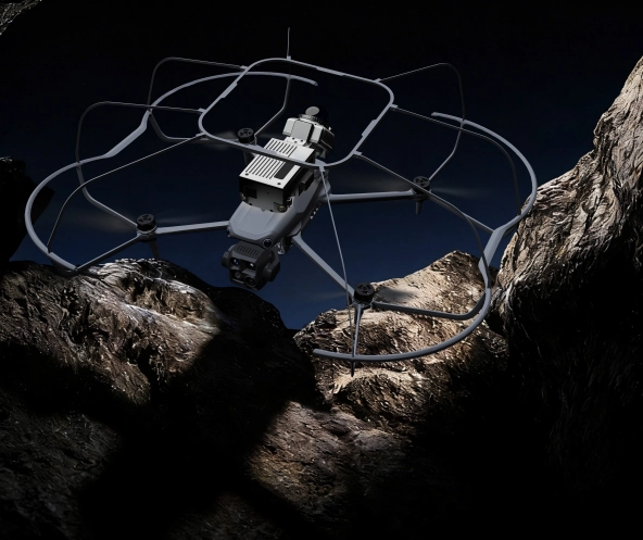
With its compact design, it can easily navigate narrow alley and confined space.Combined with a high-precision laser and excellent SLAM algorithm, it cangenerate high-precision 3D data for users in areas inaccessible to personnel.
- Real-Time Color Point Cloud
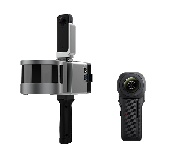
The device supports real-time synchronous output of color point cloud, withrealistic color and uniform density, which can accurately present the structuralfeatures of the scene and be directly applied to rapid on-site identification anddata analysis, providing reliable data support for real-time decision-making.
- High-Precision Point CloudPost-Processing
It supports high-precision post-processing of point cloud data, optimizes dataquality through professional GoSLAM mapping algorithm, and generates moreaccurate and complete 3D point cloud to meet the needs of precision measurement applications.
- X1 5G Version,Linking Infinite Possibilities
The X1 5G version supports real-time online browsing and measurement ofcolor point cloud from different locations, and provides instant field informationfor integrated command through the GoSLAM online cloud platform.
- Standard Configuration With aPermanent 3D GaussianModeling Software and Browser
The 3D Gaussian Digital Matrix Engine can highly reproduce 3D Gaussian scene models, and can also be quickly browsed and measured through the accompanying browser.
- Break-Point Resume ScanningTechnology
For large scene and complex environment where complete data collection isimpossible in one scanning and manual stitching is not desired. GoSLAM X1fully supports resume scanning from break-point. You can replace the batteryor stop scanning at any time. Real-time scanning results and post-processingresults can be automatically registered for unlimited scans without the need for secondary stitching.
- Industry Applications
The GoSLAM X1 collision-resistant flying 3D laser scanning system is highlyefficient and can be used for laser scanning and mapping in scenarios such aspipelines, utility tunnels, and underground wells. It can also assist in emergencyrescue, explore unknown space, and obtain 3D data of areas that are difficult forpersonnel to access, reducing human intervention.
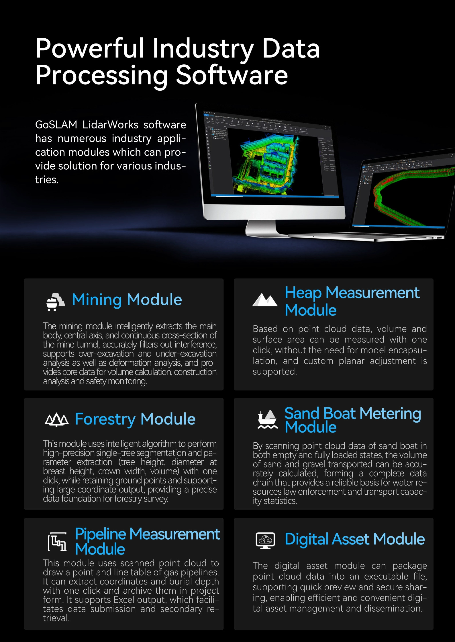
- Powerful Industry DataProcessing Software
GoSLAM LidarWorks softwarehas numerous industry appli-cation modules which can pro-vide solution for various industries.
2. Product Parameters
- Other Products