New way of 3D laser scanner RS100i measurement operation
New way of 3D laser scanner RS100i measurement operation
Efficiency is empoweringMobile measurement brings higher operational efficiency and enables the team.
|
|
Multi-platform supportHand-held, backpack, vehicle-borne, ship-borne, uav and other platforms.
|
Real-time data visualizationReal-time visualization of tasks and field data, common internal and external industry information.
|


Industry
|
|
 |
 |
 |
Industrial applications
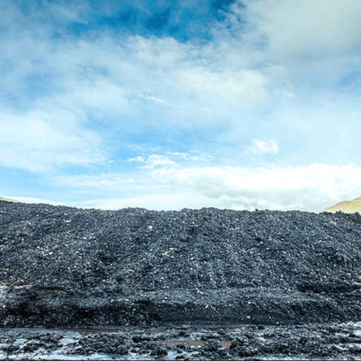
Stack measurement
It has advantages in volume inventory of coal pile, ore pile, material and granary. DS100 is based on laser scanning and SLAM positioning technology. It can perform fast, mobile scanning operations in shed and outdoor environments, without GPS. The cloud can be seen in real time with high precision and fast speed, and the unique ultra-low reflectivity range extension function is particularly effective for coal pile and mineral materials. This has incomparable advantages over other measurement methods.

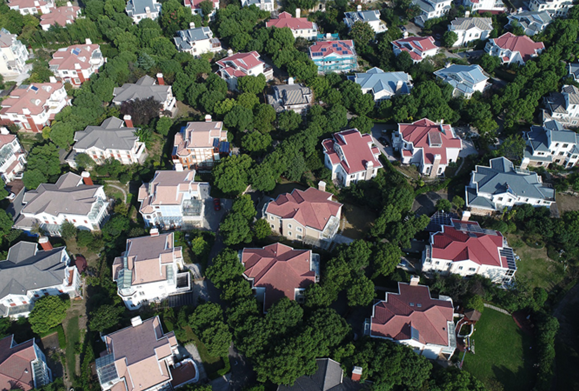
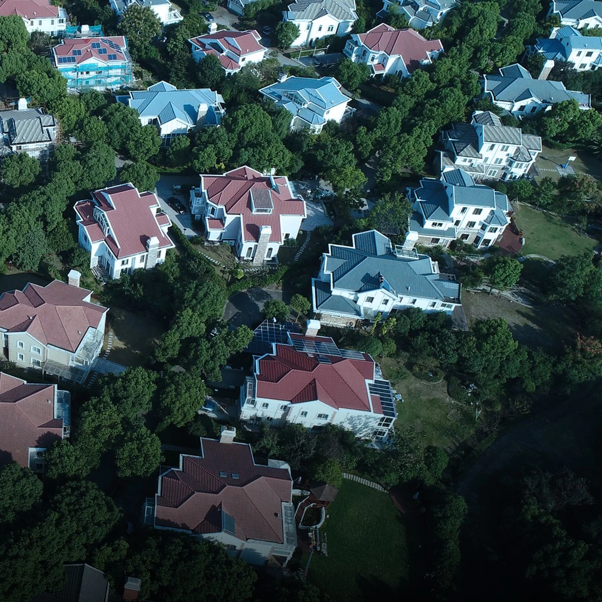
Building information collection
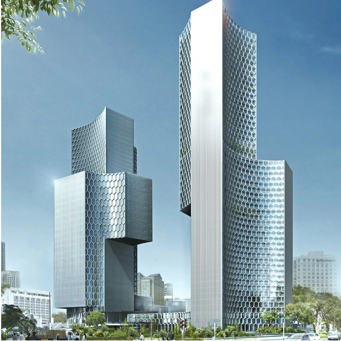
Based on multi-platform development, it can be carried by hand-held, backpack, vehicle-mounted or unmanned aerial vehicle, with a unique dual probe scanning frequency of 1.3 million points/second. It can move faster for data collection and high-density spatial information collection of all kinds of building information, such as modern real estate, urban housing, rural cadastre, building facade, ancient buildings, etc., for internal 3D modeling and drawing.

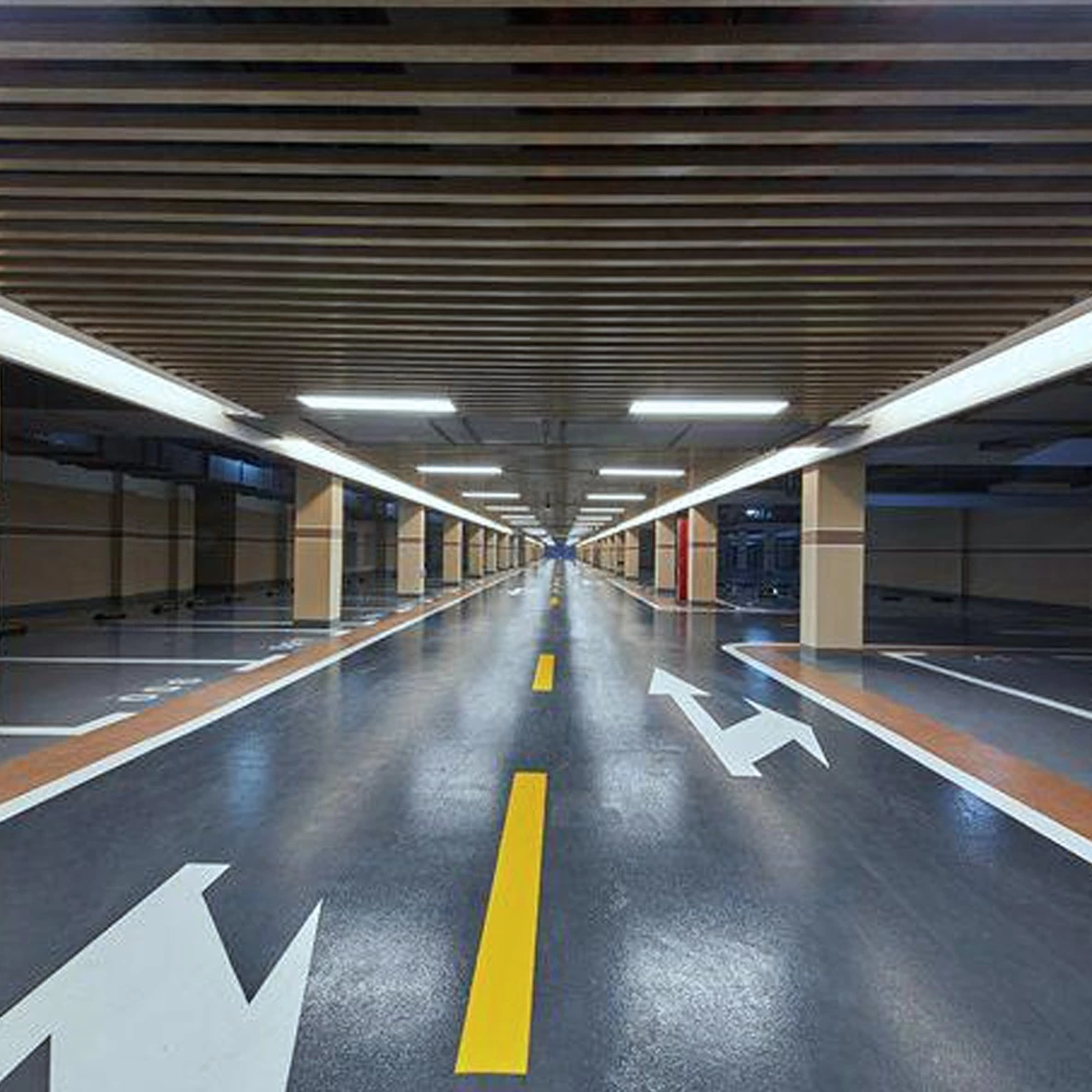
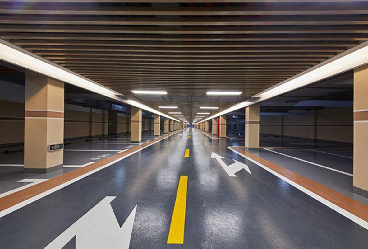
Digitization of underground facilities
GoSLAM DS100 products based on SLAM localization technology do not require GPS. Fast 3D data acquisition can be carried out both indoors and outdoors, and high-quality point cloud data can be obtained without the influence of bright or dark environment. DS100 system can be used to collect complete and accurate spatial information for underground parking lots, civil air defense facilities, shopping malls and airports, large-scale facilities of factories and mines.
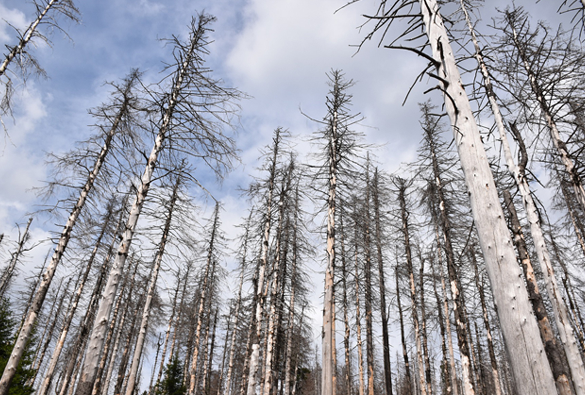
Agriculture, Forestry, geology
Complex site environment of agriculture, forestry and geology and high density coverage. It has always been a difficult area for 3d data acquisition. The advent of SLAM technology has solved the problem in this field. The GoSLAM DS100 product features 360×360 degree scan coverage with dual laser heads. This method can collect the three-dimensional information of the horizontal and vertical surface of the tree crown to a large extent. Agricultural growth, forestry green quantity and geological survey are no longer difficult.
Survey and mapping
The flexible and versatile GoSLAM DS100 system can switch between hand-held and unmanned aerial vehicle at will. DS100 can deal with trees or narrow village laneways in a leisurely manner.