


Archaeological Survey
Archaeological Survey
The need for techniques that provide rapid area coverage and detailed imaging of the subsurface to evaluate the historical sites without intrusive investigations naturally leads to exploiting the power of GPR.
Field Archaeology
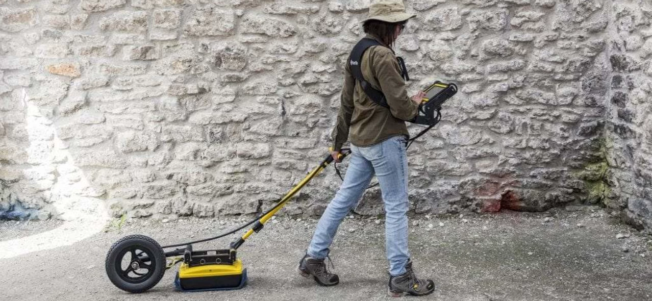
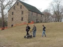
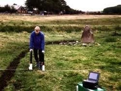
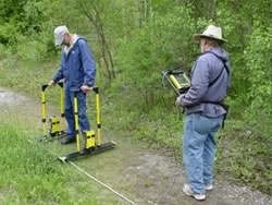
Ground-penetrating radar or GPR is a system used in geophysics to scan, map & record information about the earth’s subsurface. Archaeologists have employed this technical procedure for several years and it is also common in other scientific fields such as environmental studies, geology, and even civil engineering.
Archaeological geophysics involves methods to collect data that permits the field archaeologist to image and map underlying archaeological features, which are otherwise impossible to detect using traditional field methods. Archaeologists can take advantage of the physical and chemical changes within the ground relative to the presence or absence of subterranean objects. Using highly sensitive instruments the specialist technician can measure, map, and interpret the data signals, received by the GPR system, into useful information for planning the excavation.
Non-intrusive Survey
The greatest advantage of ground penetrating radar is that they offer non-invasive & non-destructive way to collect information about the near-surface. Large sites with concealed remains can be viewed and analysed efficiently and accurately, whilst preserving the site.
GPR maps offer useful primary survey data that can be used to establish sites for excavation or even identify sensitive areas where cultural remains, such as burial sites could be found and may need special extraction process and therefore the information can guide archaeologists to avoid disturbing or destroying these locations.
The sedimentary strata and buried artifacts have a peculiar physical and chemical composition. This influences the velocity of the Electromagnetic wave spread (electrical conductivity and magnetic permeability). Differences or variations in the waves received signify presence of objects, voids, changes in physical properties, etc. Pattern in the subsurface imaging are indicative of underlying archaeological features such as architecture or artifacts.
Contact us if you need help for interpreting ground penetrating radar data for archaeology.
 |
 |
|
| Buried Walls & Foundations | Cemeteries & Unmarked Graves | |
 |
 |
|
| Historic Construction | Historical Site Investigation | |
 |
||
| Precious Artefacts |
