






- Browse Categories
- YQFH Drone
- DJI Drone
- Other Drone
- Drone Payloads
- Robot
- Pipeline Detection Instrument
- 3D Laser Scanner
- Industrial Measurement Devices
- Weather Station Series
- Optical Survey Instruments
- GNSS RTK & CORS System
- BDS System Products
- Visual Displacement Monitoring System
- UWB Indoor Positioning System
- Hydrology Products
- Others
- Spectrometer
- Wet Blast Machine
- SDI Soil Tester
- Pengjin Smart Flying Drone Patrol and Inspection System
- Supercomputing
- Module
- Viscometer
- Electric Hygro-thermograph
- Echo Sounder
- Processing Software
- Keson Measuring Tools
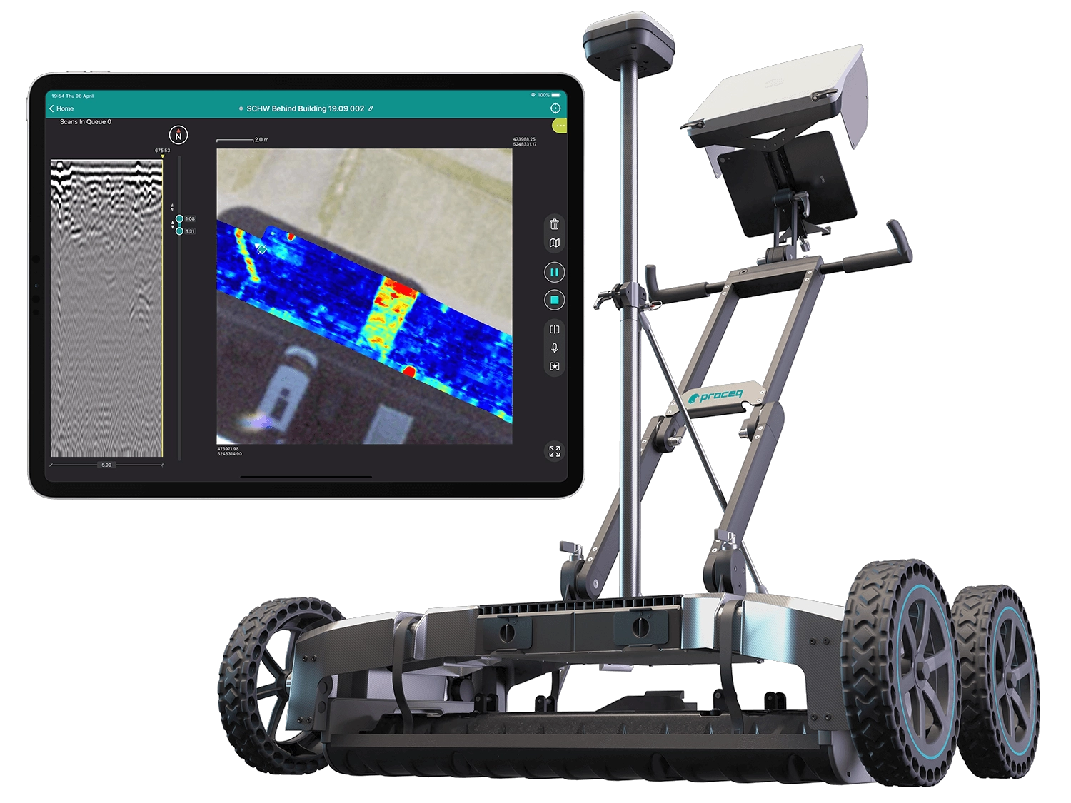
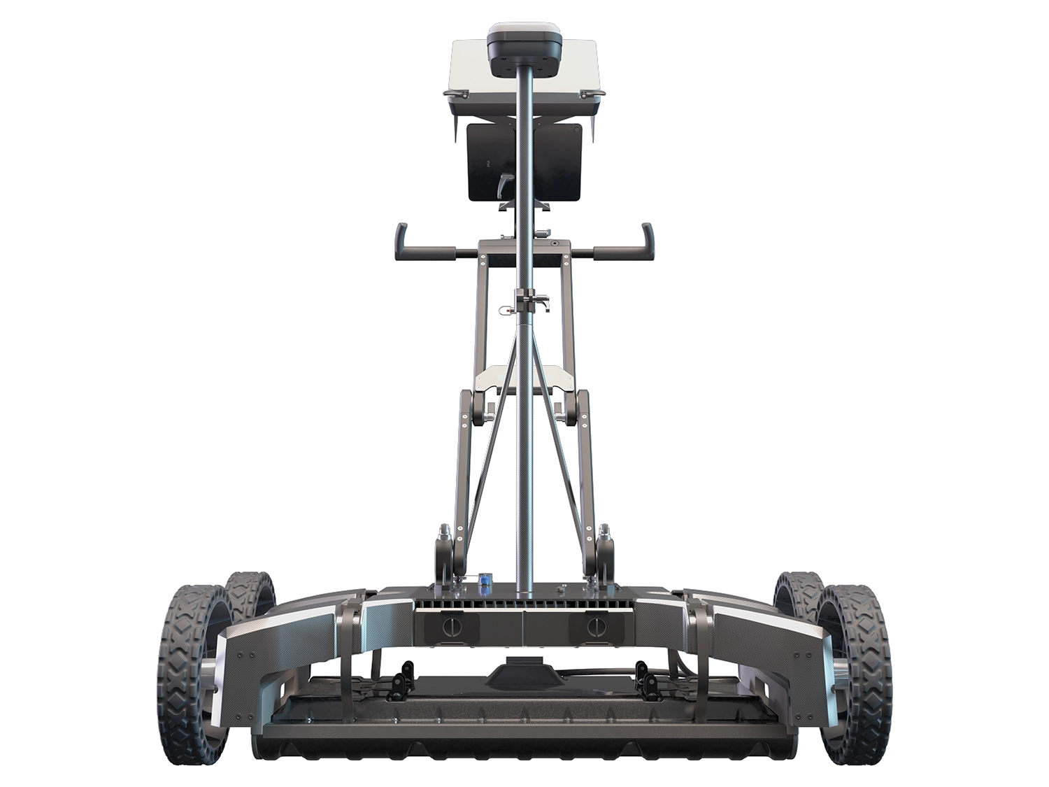
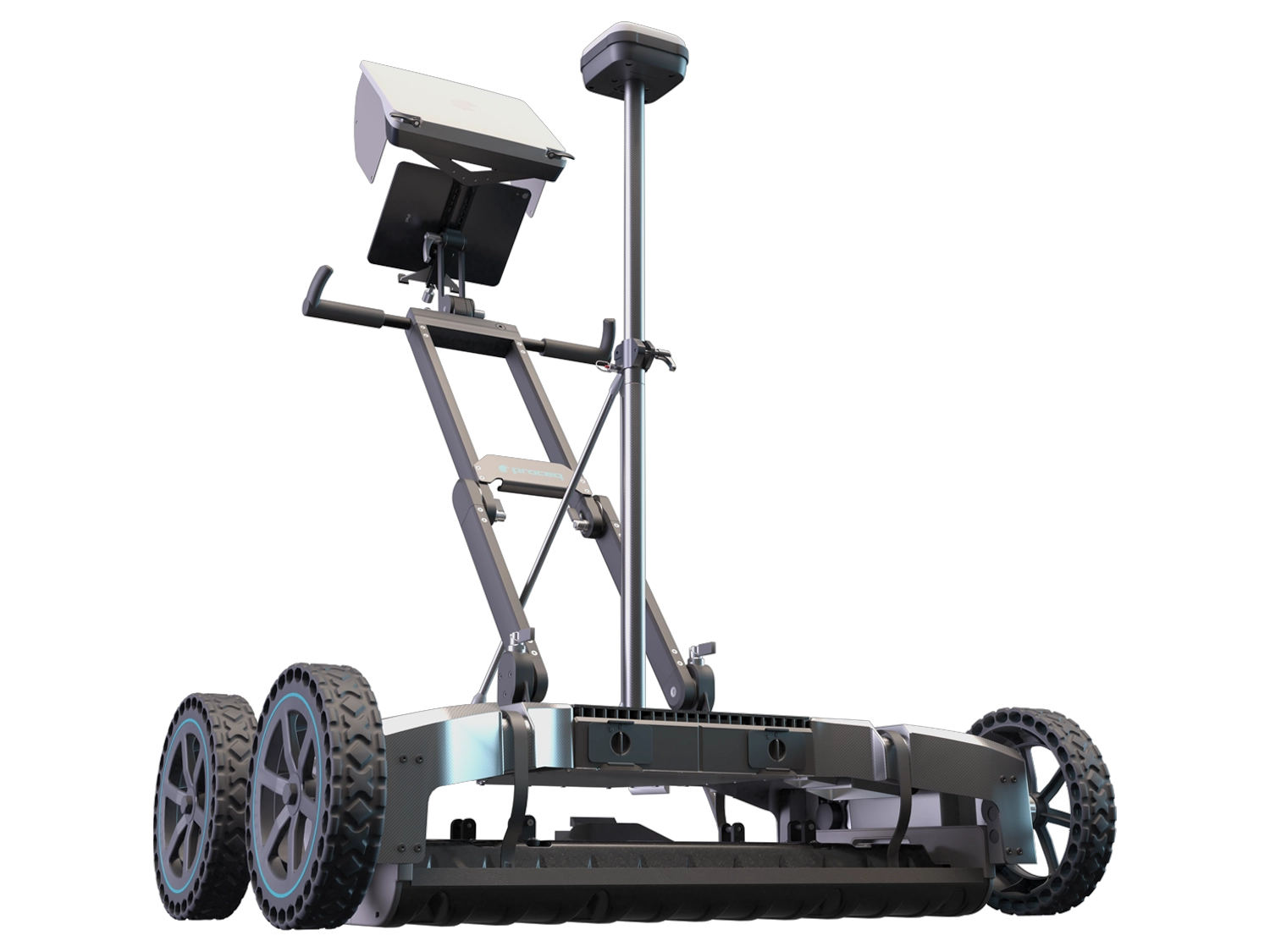
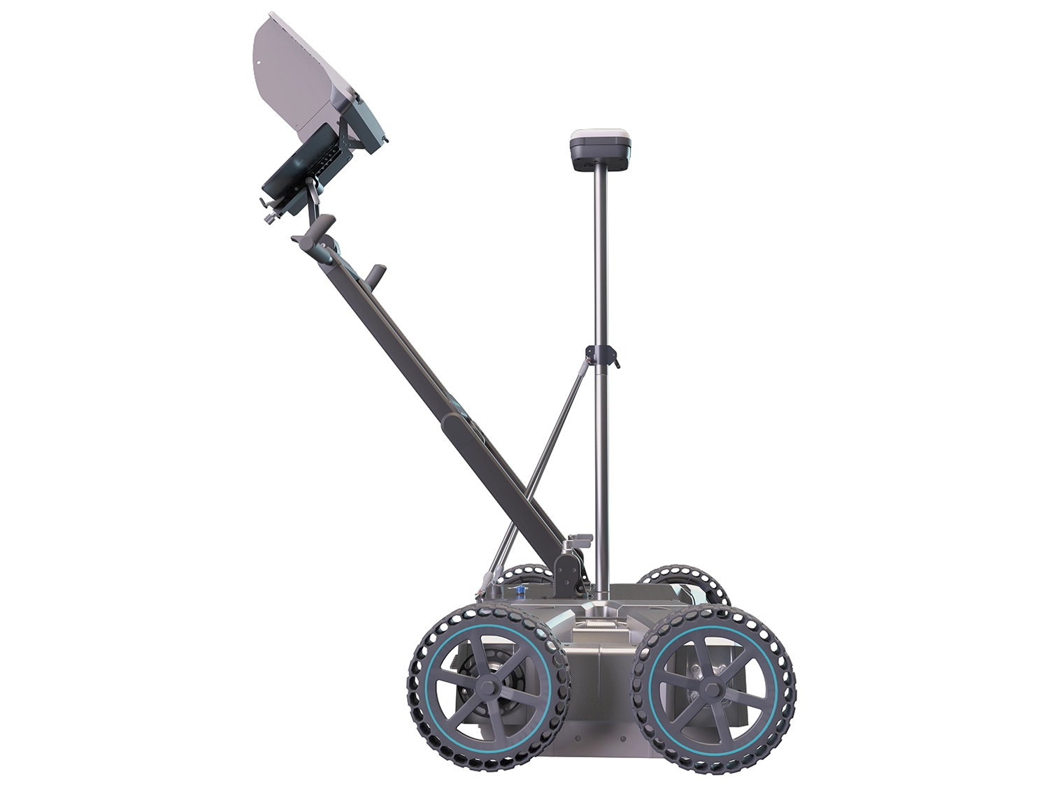
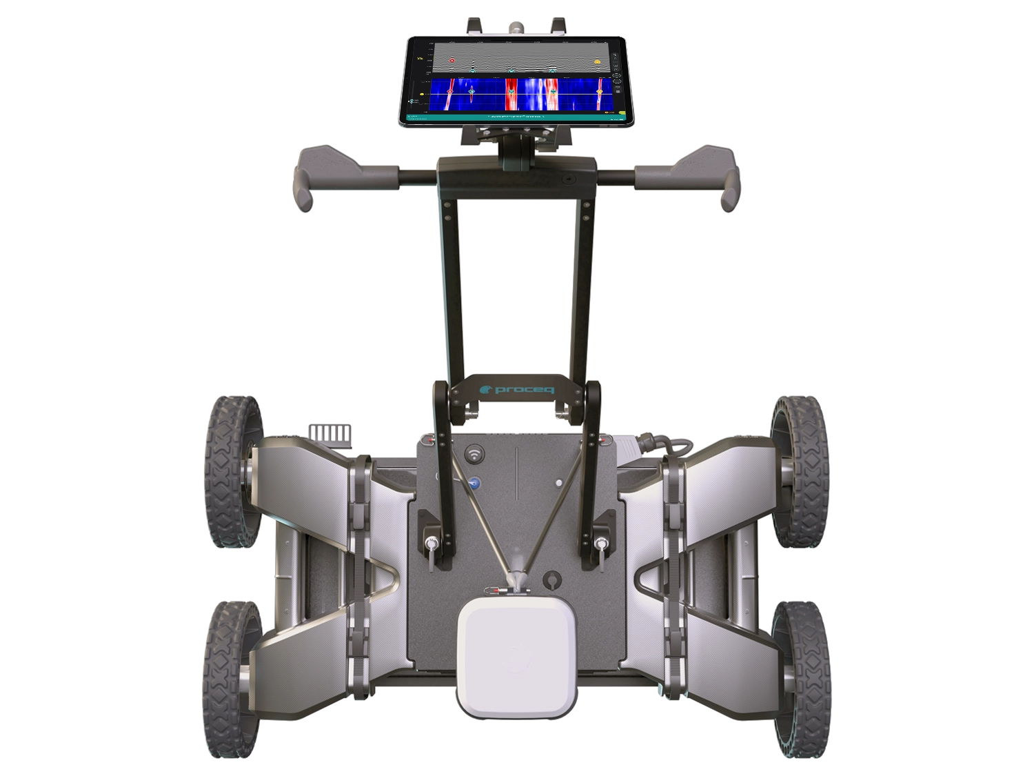
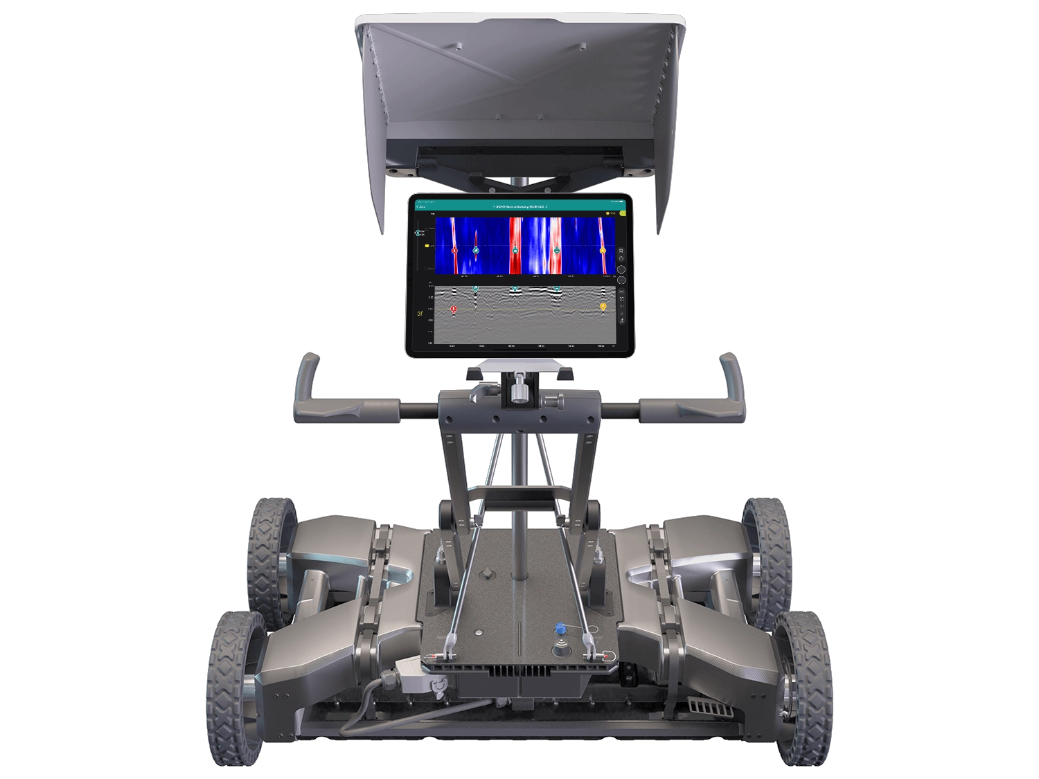
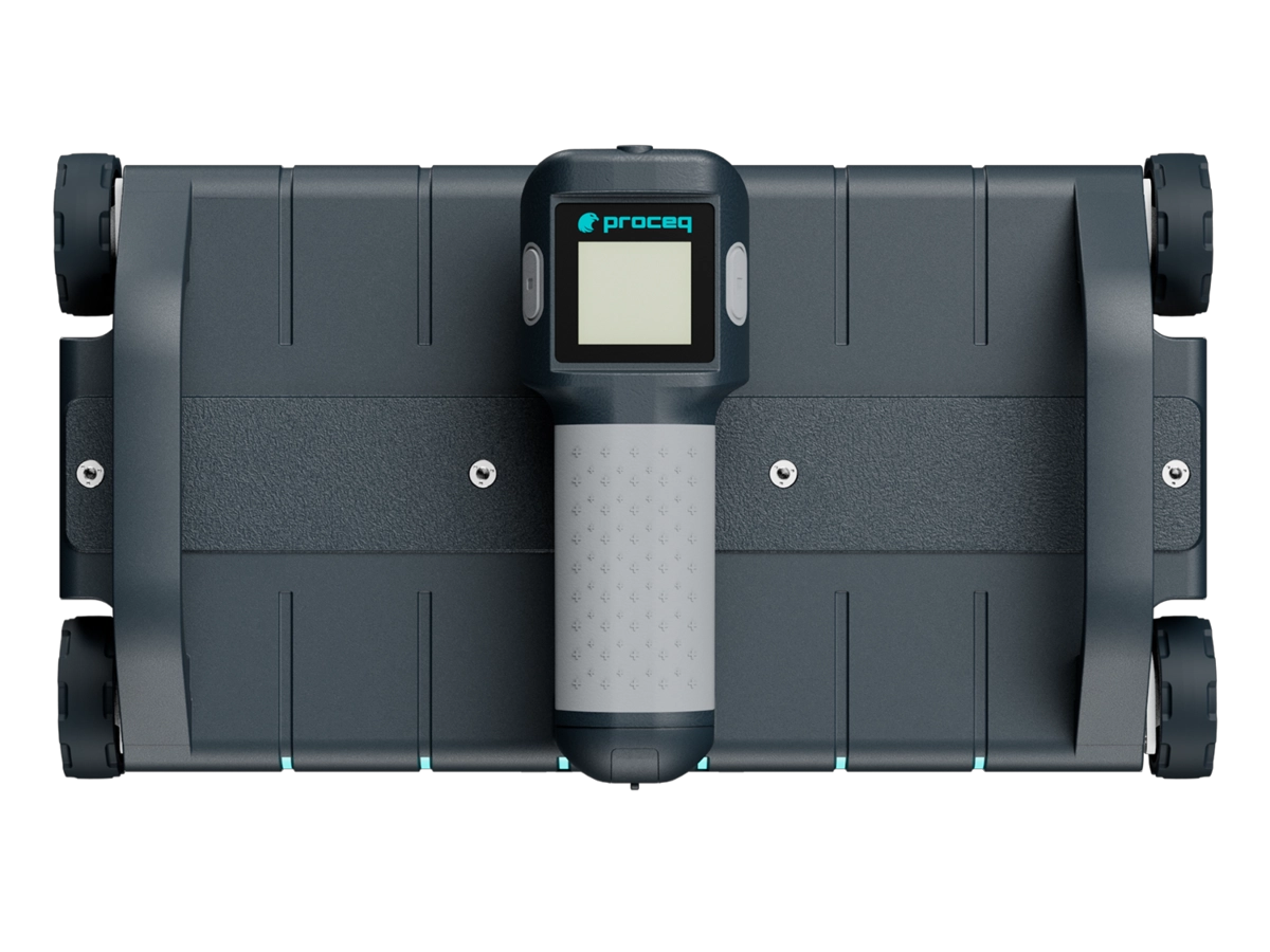
Subsurface Mapping GPR GS9000
- Modulation frequency range: 400-4000 MHz
- Depth of penetration: 80 cm / 31.5 in
- Battery: flight safety, removable package, 8x AA (Nimh)
- Dimensions: 41.5 x 22.5 x 13.2 cm
- Weight: 3.0 kg (excluding the battery)
|
Versatility meets efficiency Subsurface Mapping GPR GS9000 |
|
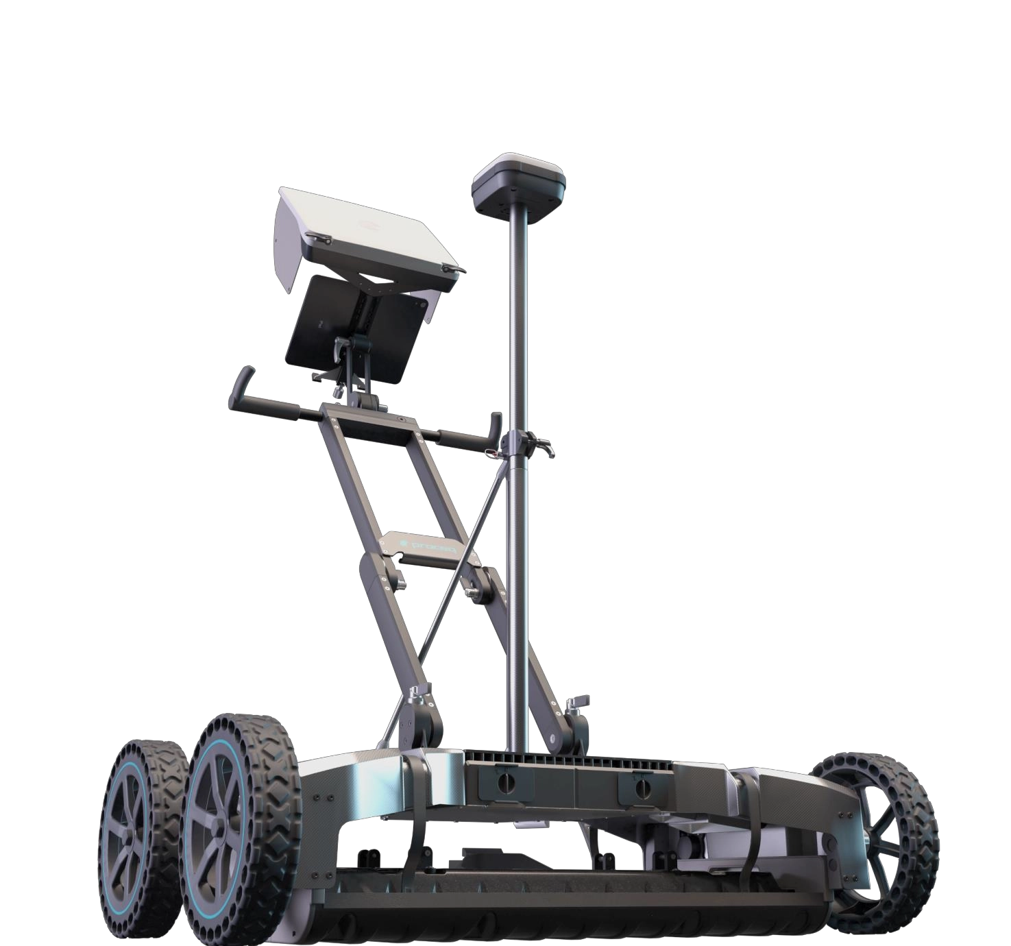 |
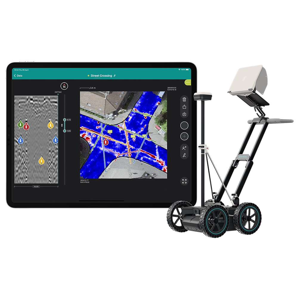
GS9000The most efficient multichannel GPR system with real-time 3D visualization♦ Interchangeable GPR arrays covering a vast array of applications ♦ Get an accurate 3D map of the underground, literally, as you walk ♦ Get the most powerful insights from your data, anytime, anywhere Application: Damage prevention / Excavation safety/ Utility locating & mapping / Subsurfaceutility engineering (SUE)/ Surveying & Reality Capture / Road inspection / Bridgeinspection / Geophysical investigations / Archaeology./ Forensics & UXO /Precision Agriculture |
| Revolutionary portable concrete GPR array with never-seen-before data clarity |
 |
 |
 |
||
| Productivity | Display | density | ||
| The effective exploration width of 25 cm and the penetration depth of 80 cm improves the efficiency of the scan, with a scan equivalent to six traditional six scans. | Superline Scan View makes the detection of objects of any size and marking of easier and faster concrete surfaces than ever. | The high scan speed of 1 "200 scans per second allows the collection of GPR data with extremely high density with only a superline scan and is displayed with six traditional line scans. |
| Specification |
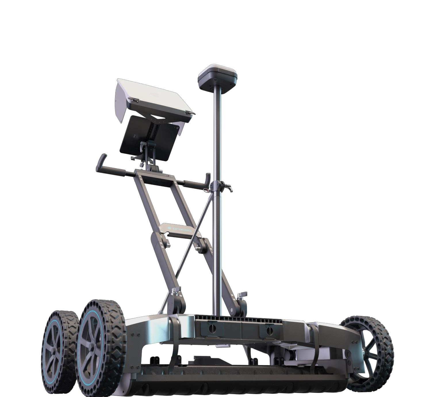 |
musical instrument Technical specifications |
|
 |
Proceda GPR application Technical specifications |
|
Field Methodology Free Path Live Image Processing Time Slice View (georeferenced) Live Display Options Satellite imagery |
Radar technology Stepped-frequency GPR Modulated frequency range 500 – 3000 MHz ² | 30 – 750 MHz ³ Number of channels 35 (VV) + 15 (HH) ² | 11 (VV) ³ Channel spacing 2.5 cm (VV), 5.5 cm (HH) ² | 7.5 cm ³ Scan width 0.85 m ² | 0.82 m ³ Scan rate 27500 scans/s ² | 22000 scans/s ³ |
- Other Products