






- Browse Categories
- YQFH Drone
- DJI Drone
- Other Drone
- Drone Payloads
- Robot
- Pipeline Detection Instrument
- 3D Laser Scanner
- Industrial Measurement Devices
- Weather Station Series
- Optical Survey Instruments
- GNSS RTK & CORS System
- BDS System Products
- Visual Displacement Monitoring System
- UWB Indoor Positioning System
- Hydrology Products
- Others
- Spectrometer
- Wet Blast Machine
- SDI Soil Tester
- Pengjin Smart Flying Drone Patrol and Inspection System
- Supercomputing
- Module
- Viscometer
- Electric Hygro-thermograph
- Echo Sounder
- Processing Software
- Keson Measuring Tools
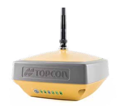
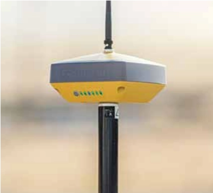
Complete, Cutting-Edge Performance
- Universal Tracking Channels for all satellites, signals and constellations
- Field-tested, field-resdy IP67 design
- Compavt form factor ideal for Millimeter GPS and Hybrid Positioning
- Revolutionary 9-axis IMU and ultra-compact 3-axis eCompass
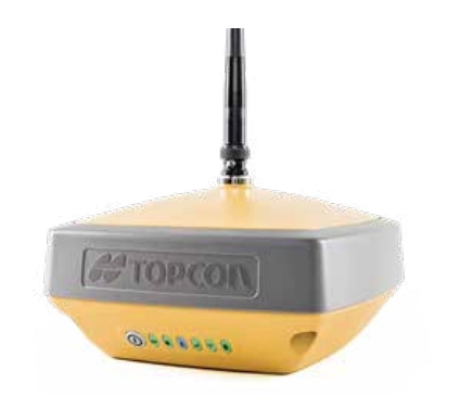
Better things in smaller packages
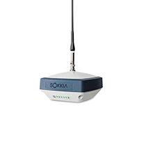
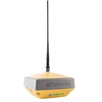
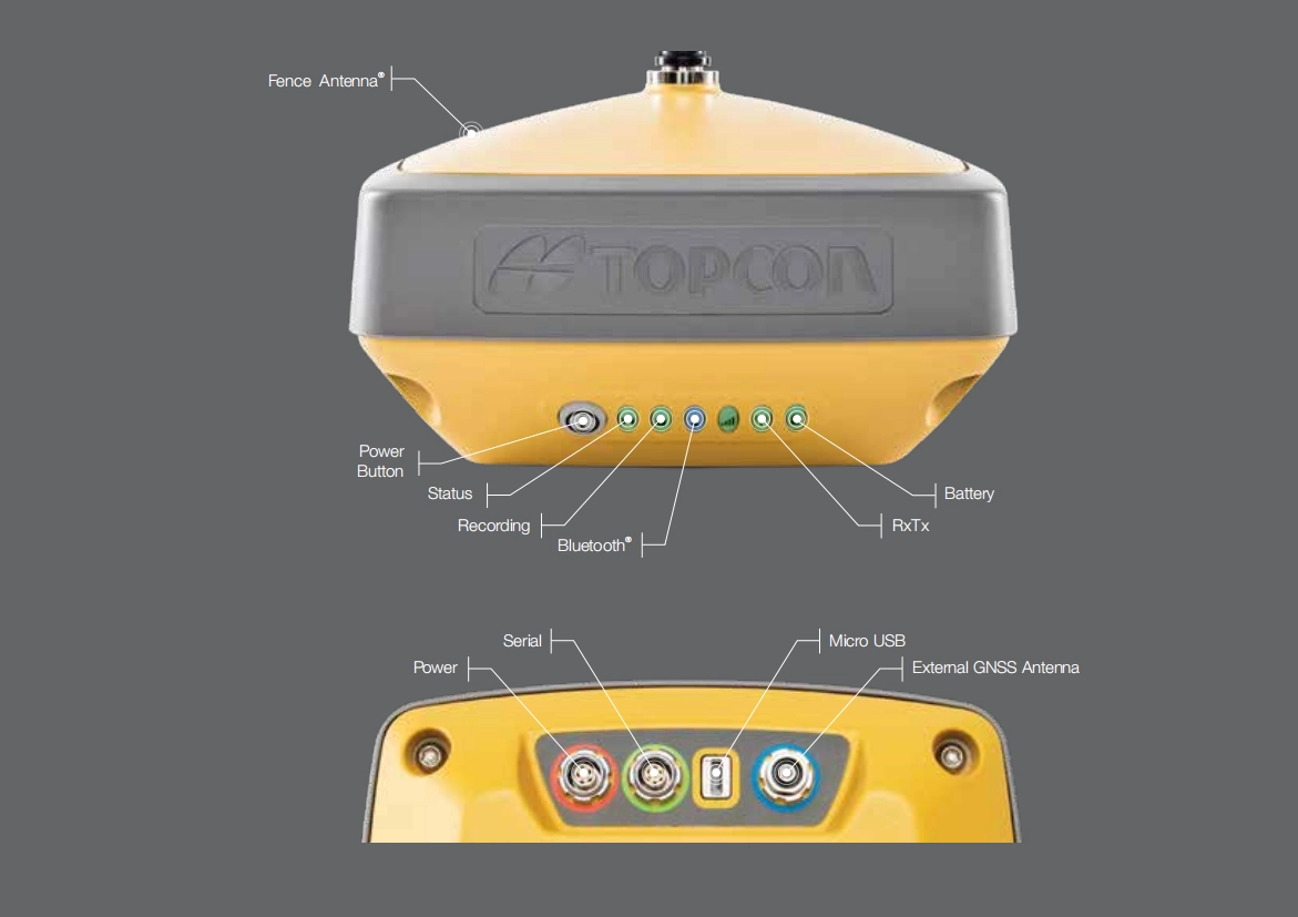
The Hiper VR is smaller and lighter, but don't let its small size fool you. It's not only packed with the most advanced GNSS technology, it is also built to withstandbthe harshest field environments. Built with a rugged housing- not weak plastic-it can take the punishment of the job site.
Using the Topcon advanced GNSS chipset wiht Universal Tracking Channels technology, the receiver automatically tracks each and every satellite signal above-now and into the future.
All signals, all satellites, all constellations-all in a compact, rugged design, with an integrated IMU and eCompass.
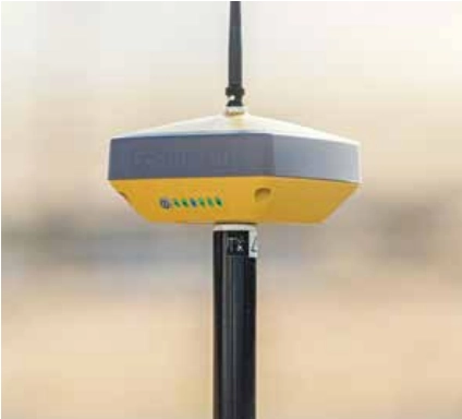
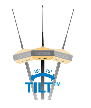
TILT-Topcon Integrated Leveling Technology
The HiPer VR incorporates a revolutionary 9-axis inertial measurement unit(IMU) and an ultra-compact 3-axis eCompass. This advanced technology compensates for mis-leveled field measurements out of plumb by as much as 15 degrees.
Awkward shots on steep slopes or hard to resch spots are now a brezze with TILT.
Tel:+8613828792860
Wechat:PJK13828792860
Contact Person:Janet luo
- Other Products