






- Browse Categories
- YQFH Drone
- DJI Drone
- Other Drone
- Drone Payloads
- Robot
- Pipeline Detection Instrument
- 3D Laser Scanner
- Industrial Measurement Devices
- Weather Station Series
- Optical Survey Instruments
- GNSS RTK & CORS System
- BDS System Products
- Visual Displacement Monitoring System
- UWB Indoor Positioning System
- Hydrology Products
- Others
- Spectrometer
- Wet Blast Machine
- SDI Soil Tester
- Pengjin Smart Flying Drone Patrol and Inspection System
- Supercomputing
- Module
- Viscometer
- Electric Hygro-thermograph
- Echo Sounder
- Processing Software
- Keson Measuring Tools
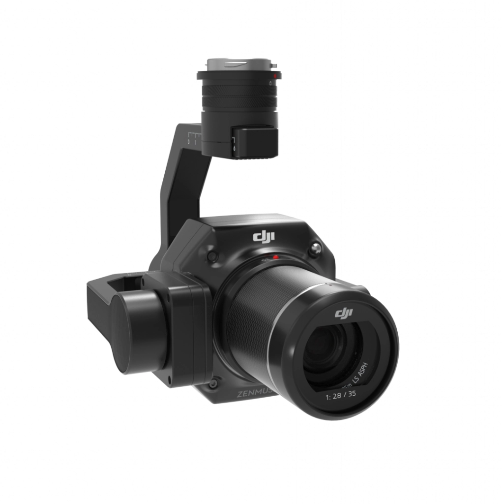
Full-Frame Camera
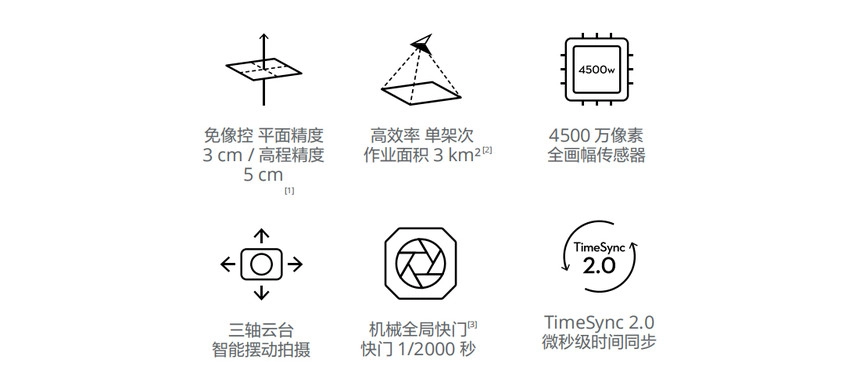
- 45 MP Full-Frame Sensor
- 4.4 μm Pixel Size: Low-noise, high-sensitivity imaging extends effective daily operational time
- Minimum Continuous Shooting Interval: 0.7 seconds
- TimeSync 2.0: Microsecond-level time synchronization between the camera, flight controller, RTK, and gimbal systems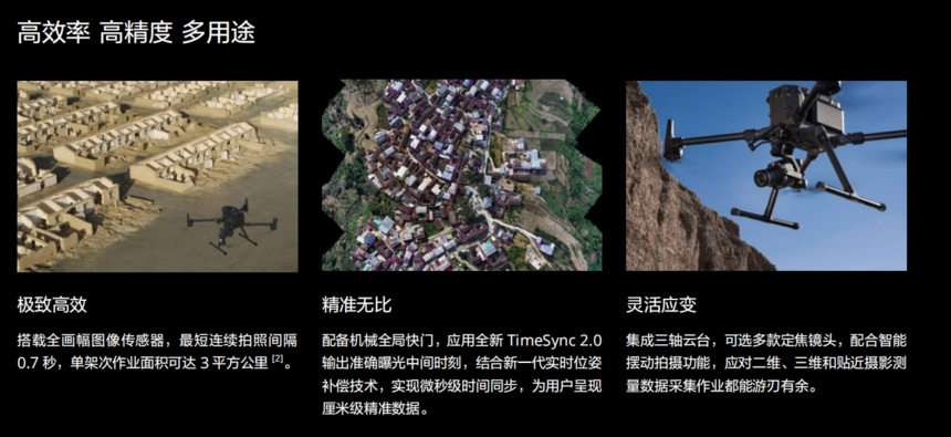
Intelligent Empowerment, Exponential Efficiency
Intelligent Oblique Photography
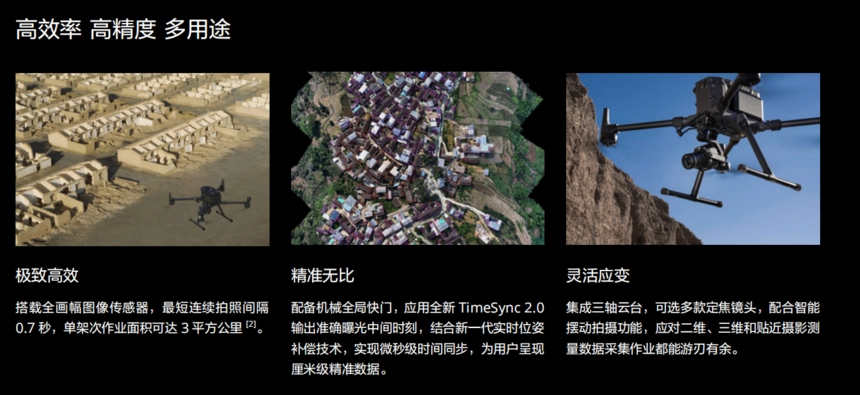
During flight, the gimbal executes multi-angle oblique photography along an intelligent trajectory, significantly boosting the efficiency of single-lens oblique surveying. A single day's operation can cover an area of up to 7.5 square kilometers. Intelligent image filtering at the edges of the survey area reduces the total number of photos captured, thereby improving post-processing efficiency by 20% to 50%.
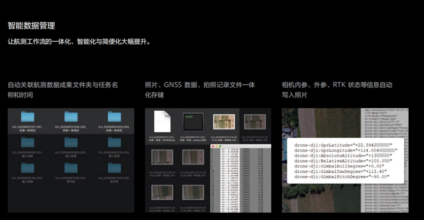
Intelligent Data Management
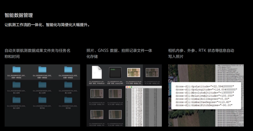
Significantly enhances the integration, intelligence, and simplicity of the aerial surveying workflow.
Field Inspection Report
Immediately upon completion of a flight mission, a field inspection report is generated. This allows for quick access to information such as photo locations, image count, RTK positioning status, and positional accuracy, enabling the pilot to verify the quality of field data on-site.
Diverse Operation Modes
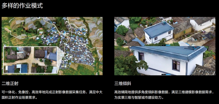
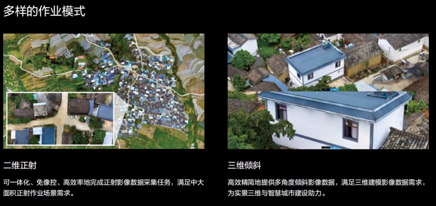
2D Orthomosaic
Enables integrated, ground control point (GCP)-free, and highly efficient acquisition of orthomosaic imagery data, meeting the requirements for medium-to-large-scale orthophoto surveying scenarios.
3D Oblique
Efficiently and seamlessly delivers multi-angle oblique imagery data, fulfilling the data requirements for 3D modeling and contributing to the development of digital twins and smart cities.
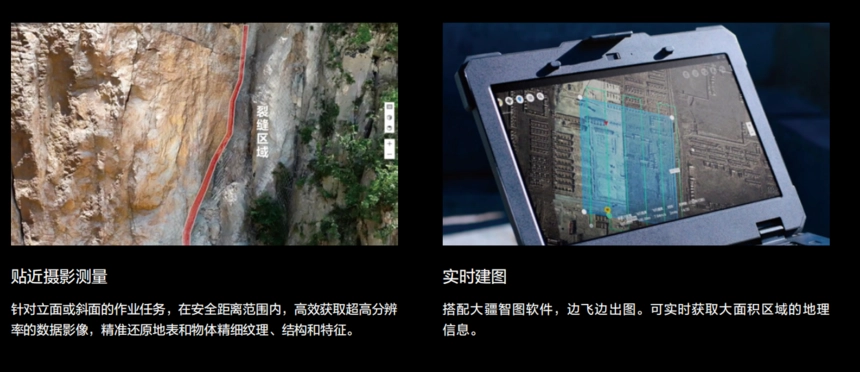
Close-Range Photogrammetry
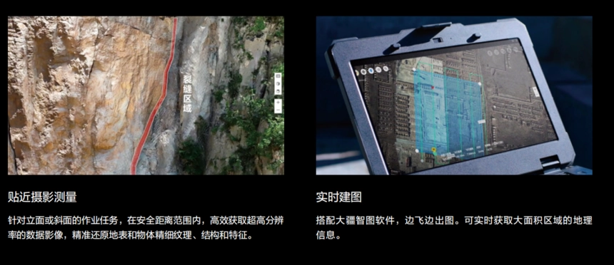
Designed for surveying tasks involving vertical facades or inclined surfaces, this mode efficiently captures ultra-high-resolution imagery from a safe distance, accurately reproducing the fine textures, structures, and features of terrain and objects.
Real-time Mapping
When paired with DJI Terra software, maps can be generated concurrently with the flight. This enables the real-time acquisition of geospatial information for large-scale areas.
- Other Products