


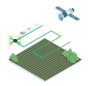
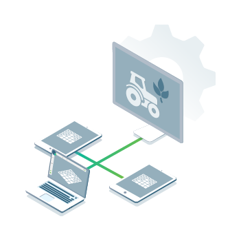
Remote sensing
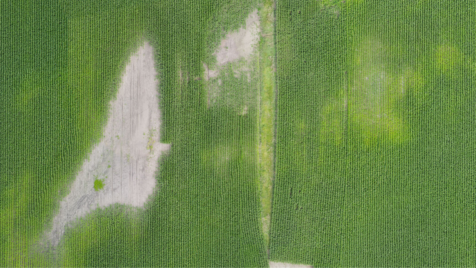
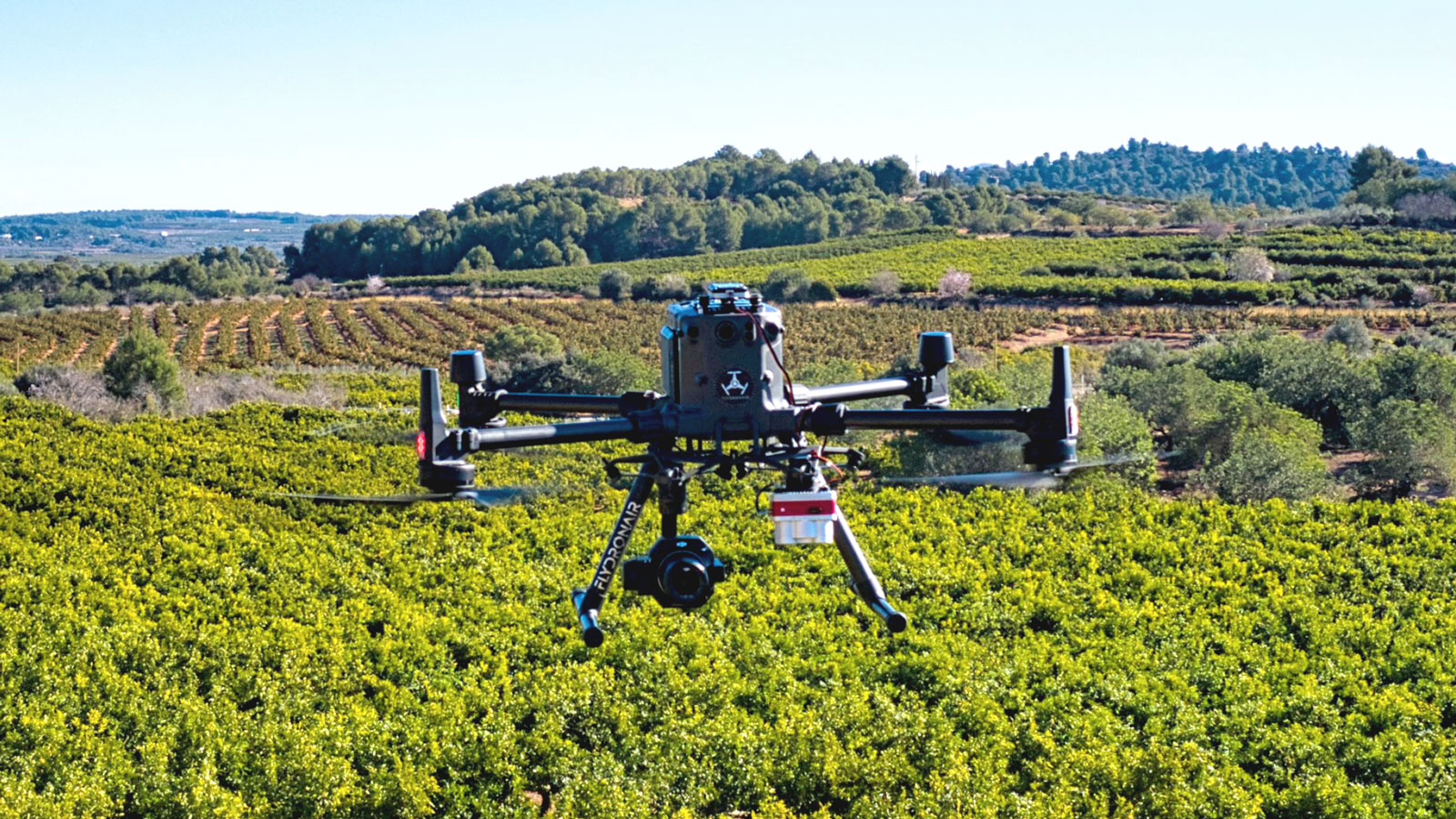
Collect images using a drone and any standard RGB or select multispectral cameras.
You can also use Satellite Data Import to enhance your mapping experience with Sentinel-2 satellite data.

PJM Technology Industry Co., Limited
Shenzhen Peng Jin Technology Co., LTD.
Remote sensing
Collect images using a drone and any standard RGB or select multispectral cameras.
You can also use Satellite Data Import to enhance your mapping experience with Sentinel-2 satellite data.
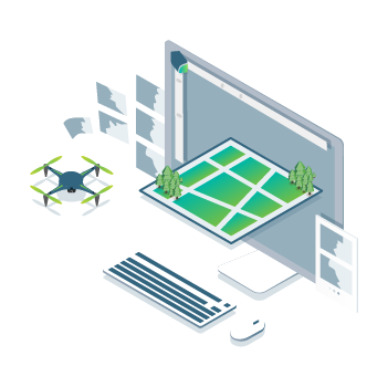
Process
Process imagery with the instant processing engine and get your maps directly in the field: 6.8 GB, 2948 images, 10 min (with the new radiometry module).
Scout
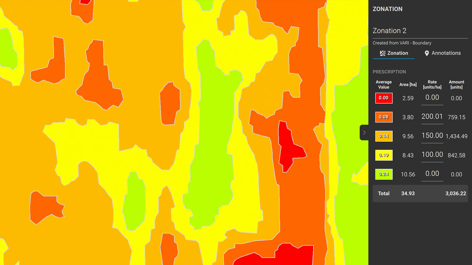
Generate precise orthomosaics, digital surface models, index maps, zones and accurate prescription maps.
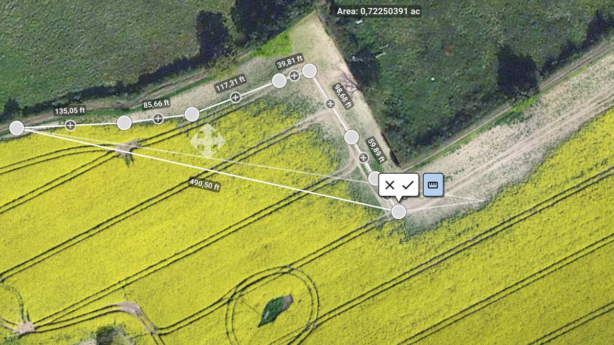
Trim your fields to a desired field boundary to create more targeted outputs.
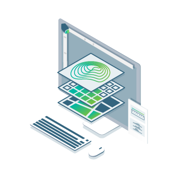
Analyze
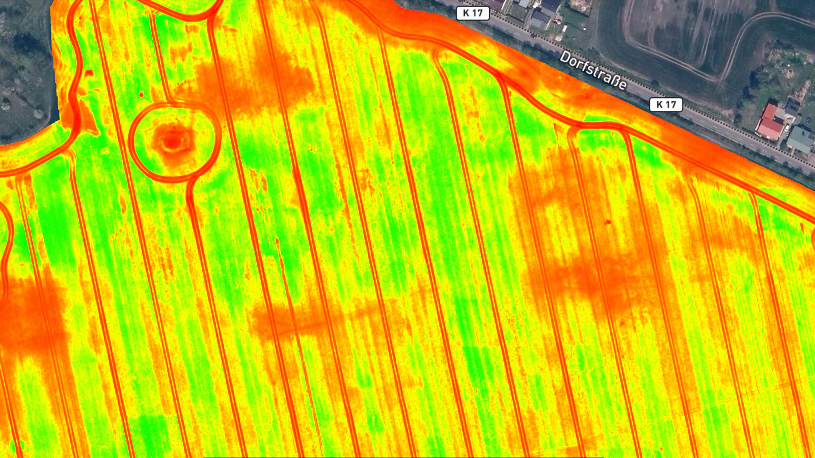
Visualize and understand your crop growth stages and stress levels.
Analyze and compare different layers of information for a full insight of your yield performance and use them to increase crop production and reduce costs.

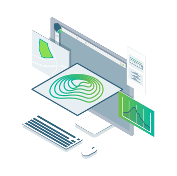
Share
Share your maps with all project stakeholders for seamless collaboration using PIX4Dfields' PDF report tool or using the share to PIX4Dcloud feature.
Integrate
Download all outputs, results and insights and import them into the Farming Management Software of your choice in various industry standard formats.
![]()
In-Field Results
Create maps rapidly (no internet connection required) for faster decision making and action, without leaving the field.
![]()
Accurate maps:
Get maps of your fields and crops at any stage using satellite and/or drone imagery.
![]()
Trusted Results
Eliminate guesswork by analyzing crop health maps and measure issues using calibrated multispectral or full resolution RGB images.

Easy Sharing
Share your data via PIX4Dcloud, as PDF report and in industry standard formats.
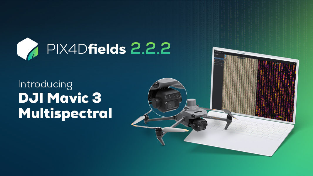
Try a DJI Mavic 3 Multispectral demo dataset yourself! Process it with PIX4Dfields and let the magic happen. Start saving time, money, and resources in your agriculture workflows today!
How to have a successful season with a complete agricultural drone mapping solution
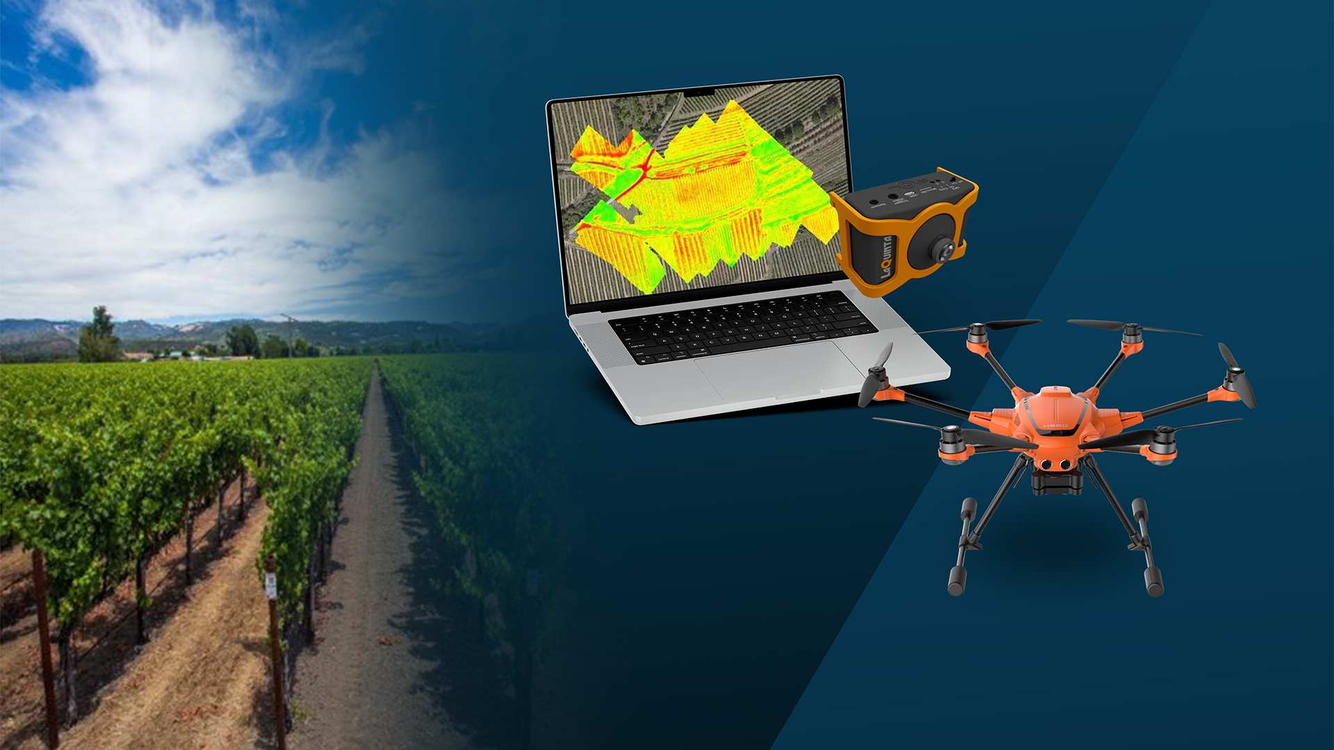
Join us to learn how PIX4Dfields software, a YuneeC H520E drone and a LaQuinta multispectral sensor were used for precision agriculture and smart farming during the last growing season of De Databoerin.

If you want to include PIX4Dfields in your teaching as part of a school or university curriculum, you can get a special license that allows you to create multiple accounts for teachers and students.
![]()
FAST PROCESSING - ACCURATE PROCESSING
![]()
GENERATE INDICES
![]()
ZONATE AND PRESCRIBE
![]()
COMPARE
![]()
MEASURE AND ANNOTATE

CALCULATE STATISTICS

EXPORT PDF REPORT

Multispectral images

RGB cameras, drone images

Satellite images

Modified cameras and other cameras
Discover how using UAVs and specialized photogrammetry software can elevate precision agriculture to make farming and crop management as efficient and productive as possible.
Orthomosaic
Field boundaries
Vegetation index map
Digital surface model
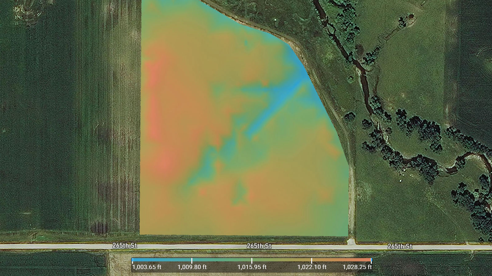
Zonation map
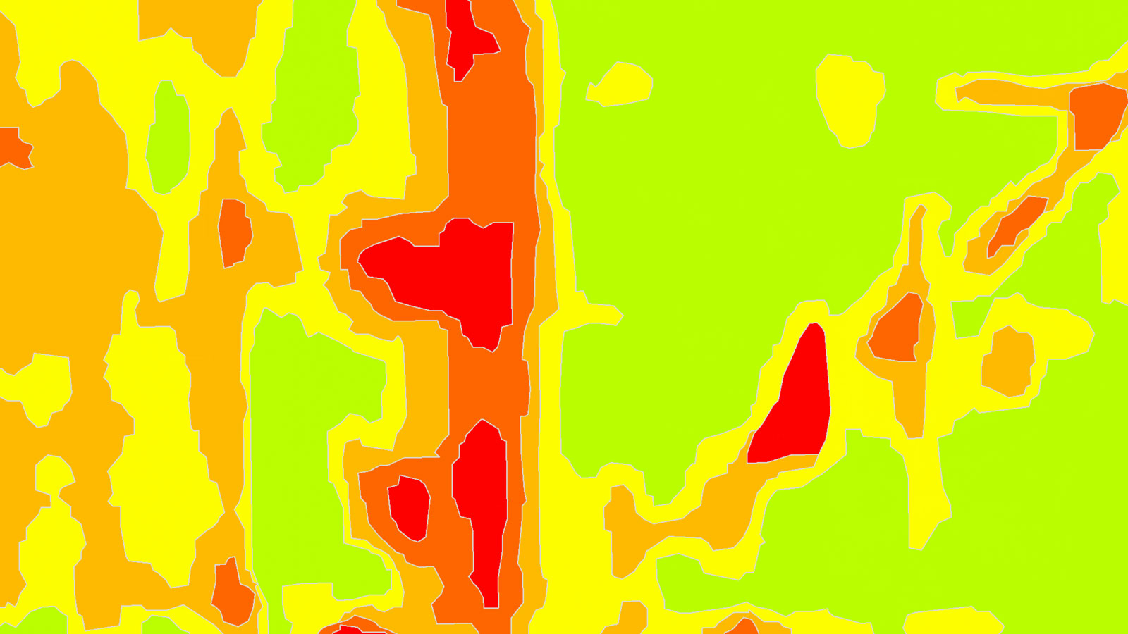
Prescription map
Multispectral images provide crop insights that can be analyzed with specialized agriculture mapping software PIX4Dfields.
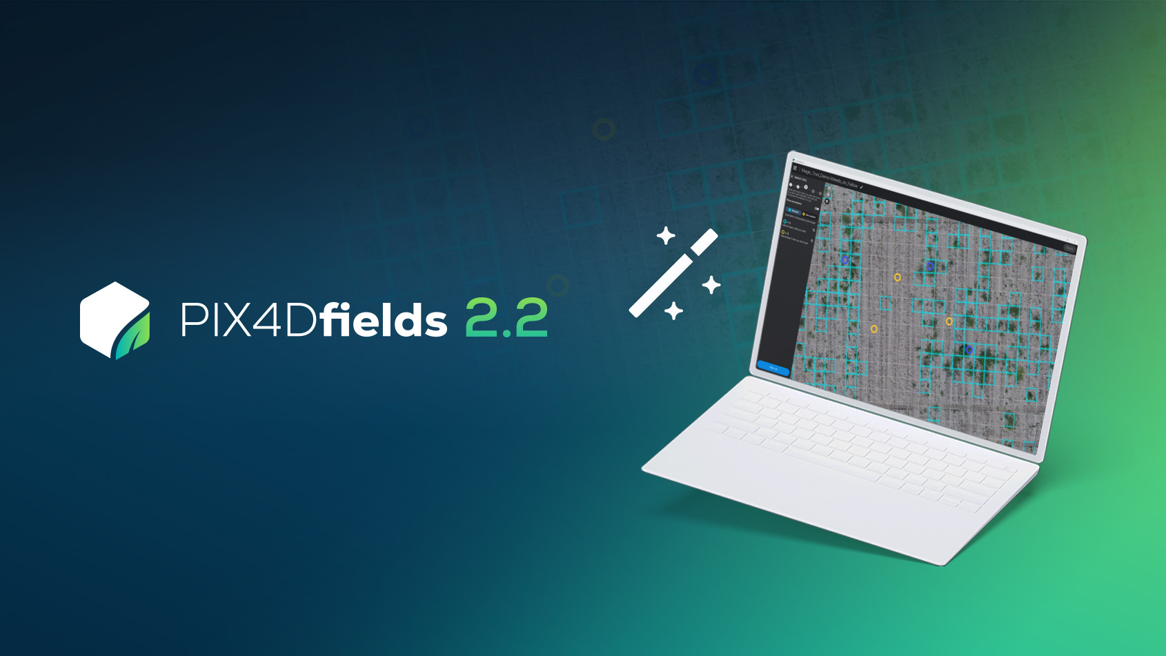
PIX4Dfields 2.2 introduces the Magic tool for Spot spraying applications and input savings to enhance precision agriculture.
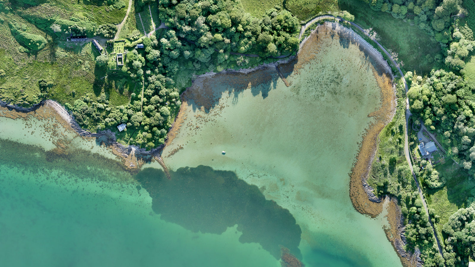
How drone mapping a fragile coastal ecosystem is contributing to achieving the UN’s Sustainable Development Goals to fight climate change.


