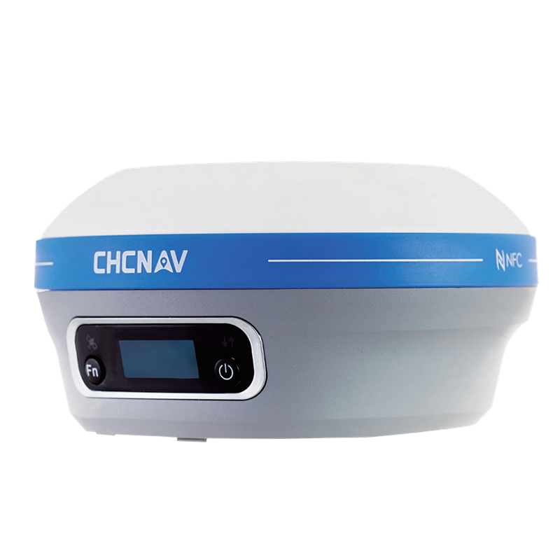
The LT800H, a rugged, accurate, and versatile RTK GNSS tablet specially designed for geospatial and mapping operations in the field. In addition to providing centimeter-level accuracy for collected data, the LT800H's industrial design ensures robust outdoor performance and data security in any environment....Read More>>
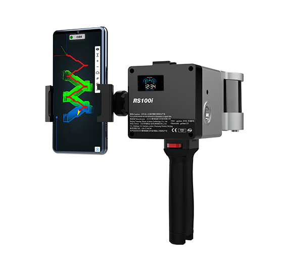
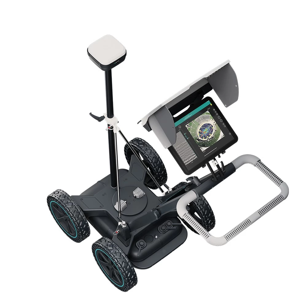
The GoSLAM RS100i mobile scanner supports a variety of scanning modes and is suitable for a variety of application scenarios. GNSS module can be switched quickly, supporting scanning to obtain WGS84 and CGCS2000 coordinate system point cloud, using the second generation of mapping program, absolute accuracy of about 2cm....Read More>>
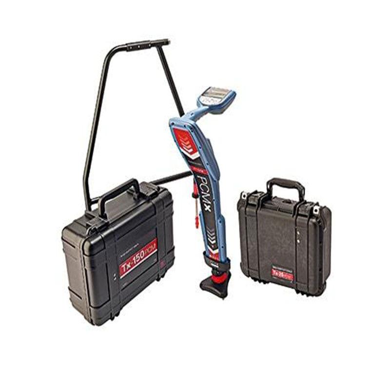
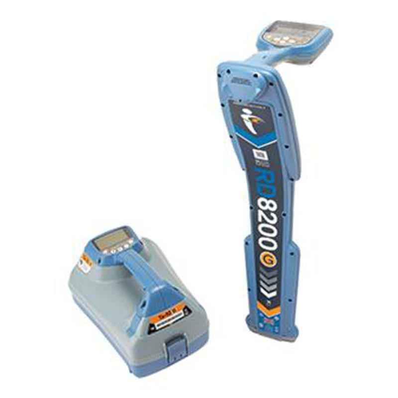
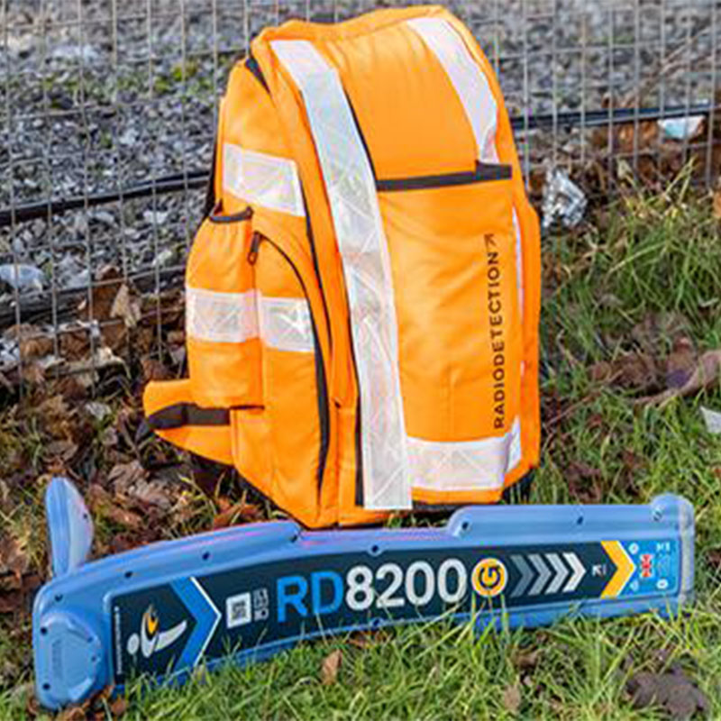
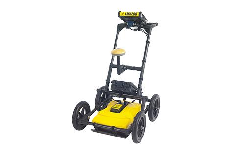
Radiodetection’s new Pipeline Current Mapping system measures and records current attenuation and voltage gradient data simultaneously alongside depth of cover and GPS positional data to make pipeline surveys faster....Read More>>
The 2023 Surveying and Mapping Discipline Development Forum and the Annual Meeting of the "Surveying and Mapping Geographic Information" Council were grandly held, and Pengjin Technology brought new products...Read More>>
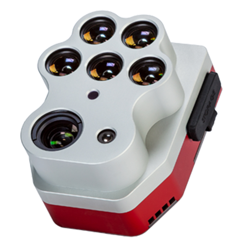
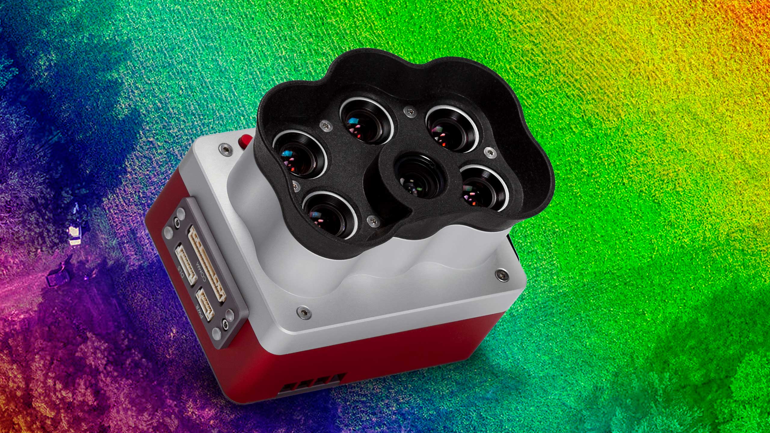
Doubling the Resolution and Capture Rate of the Market-Leading RedEdge-MX™, and Unleashing Extensive, Highly Precise Data Analysis Capabilities for Agriculture, Forestry and Land Management Drone Programs...Read More>>
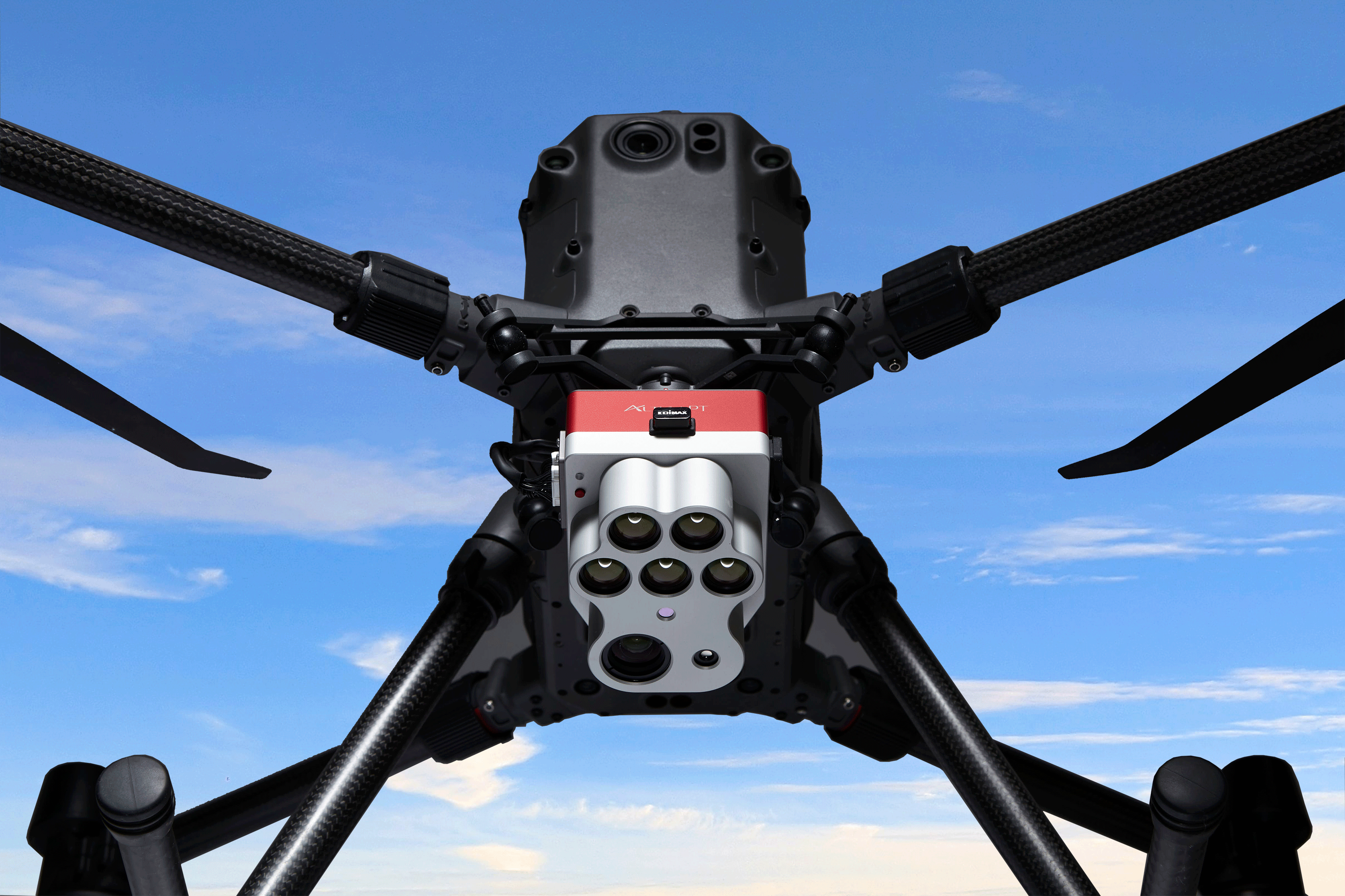
An Optimized 3-in-1 Sensor Integrating Ultra-High Resolution, Panchromatic Imaging and Thermal Imaging to Provide Unlimited Analytical Capabilities at Leaf-Level Resolution...Read More>>