


- Browse Categories
- YQFH Drone
- DJI Drone
- Other Drone
- Drone Payloads
- Robot
- Pipeline Detection Instrument
- 3D Laser Scanner
- Industrial Measurement Devices
- Weather Station Series
- Optical Survey Instruments
- GNSS RTK & CORS System
- BDS System Products
- Visual Displacement Monitoring System
- UWB Indoor Positioning System
- Hydrology Products
- Others
- Spectrometer
- Wet Blast Machine
- SDI Soil Tester
- Pengjin Smart Flying Drone Patrol and Inspection System
- Supercomputing
- Module
- Viscometer
- Electric Hygro-thermograph
- Echo Sounder
- Processing Software
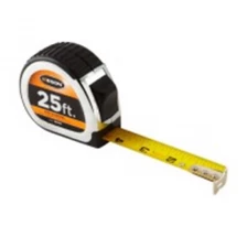
- Keson Measuring Tools
Category
-
-
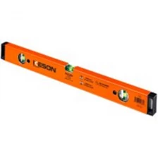
KESON BOX BEAM
Strongest Profiles! Best Vials
More
-
-
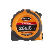
Magnetic Tip Tape Measure
The magnetic hook end sticks to any metal surface, enabling up to 10 feet of tape extension.
More
-
-
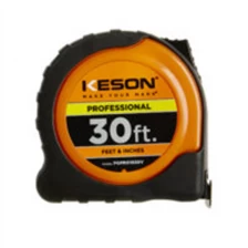
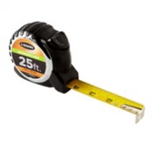
Professional Tape
We have two case styles in our Pro Series of tape measures: a stainless steel
More
or high-impact, high-visibility, Keson-Orange ABS.
-
-
Wide Blade Tape Measures
A highly visible version of our Wide Tape.
More
-
-
Ultra Bright Blade Tape
We placed these high-contrast, large-numbered, blades in a solid-ABS housing that is further protected by rubber casing.
More
-
-
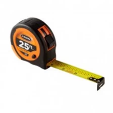
Autolock Tape Measures
The blade lock automatically engages. The tape retracts with the push of a button.
More
-
-
ECONOMY SERIES
The co-molded plastic housing holds a lacquer-coated blade with easy to read marking of each eight, quarter and half inch. A side brake will slow or stop the blade return when engaged. A good tape at a very reasonable price.
More
-
-
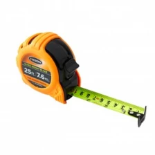
TOGGLE SERIES
Toggle locking, brightly colored case in our second most numerous offering.
More
-
-
CHROME SERIES
Our most popular model, this chrome-coated, rubber-grip compact housing comes in the most lengths and units. The textured rubber grips provide a sure hold even in a gloved hand.
More
-
-
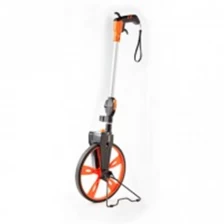
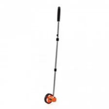
TOP READING, CENTER-LINE WHEELS
Enhanced grip pistol-type handle increases control and comfort.
More
-
-
PAINT APPLICATORS
Measure and mark simultaneously with RRPA18 and RRPA182. These lightweight spray paint marking wands feature a trigger just under the pistol grip. Engaging the trigger fires off a burst of upside-down spray paint precisely where it’s needed.
More
-
-
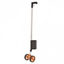
wheel measuring scale Keson measuring wheel RR10M RR112 RR110
Weighs less than 2 pounds.
More
