


- Browse Categories
- YQFH Drone
- DJI Drone
- Other Drone
- Drone Payloads
- Robot
- Pipeline Detection Instrument
- 3D Laser Scanner
- Industrial Measurement Devices
- Weather Station Series
- Optical Survey Instruments
- GNSS RTK & CORS System
- BDS System Products
- Visual Displacement Monitoring System
- UWB Indoor Positioning System
- Hydrology Products
- Others
- Spectrometer
- Wet Blast Machine
- SDI Soil Tester
- Pengjin Smart Flying Drone Patrol and Inspection System
- Supercomputing
- Module
- Viscometer
- Electric Hygro-thermograph
- Echo Sounder
- Processing Software
- Keson Measuring Tools
Category
-
-
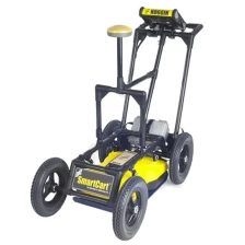
PulseEKKO GPR Professional Deep Intrusion Radar
Pulse EKKO® GPR systems offer unparalleled performance over a wide range of frequencies, ranging from deep mineral exploration and glaciology to high-resolution geological engineering research and concrete imaging.
More
-
-
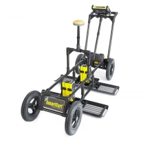
High Performance Adaptive GPR System NOGGIN Ground Exploration Radar
Adaptable GPR System
NOGGIN® GPR systems are recognized by top researchers as providing the world's highest quality GPR data. It is also designed to perform in the most demanding conditions around the world.
More
-
-
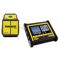
Lightweight Portable High Precision Radiation Detection GPR CONQUEST 100 Concrete Scanner
Positioning beyond concrete reinforcement bars
Uncover the world of underground information in one quick scan.
With Conquest® 100, you get quick and reliable results and reduce the need for disruptive testing. It is a lightweight, portable device that offers a fast, non-invasive way to accurately grasp objects beneath concrete surfaces, even on curved surfaces and posts.
More
-
-
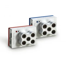
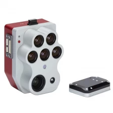
MicaSense RedEdge-MX & RedEdge BLUE
The performance of RedEdge-MX mainly depends on a new coastal blue band, a new green band, and three new bands in the red to red edge region of the spectrum.
More
-
-
5-Band Multispectral + Thermal & High-Res RGB Drone Camera Altum-PT for Precision Agriculture
The Micasense Altum-PT is an advanced multispectral and thermal imaging sensor designed for precision agriculture and remote sensing applications. The combination of high-resolution multispectral and thermal images provides detailed insight into crop health, vegetation index, and biophysical parameters. Ideal for drone integration, Altum-PT enables efficient data collection and analysis for informed decision-making in agriculture and environmental surveillance. You can capture both thermal and multispectral data at the same time. This sensor is a powerful tool to improve agricultural productivity and sustainability.
More
-
-
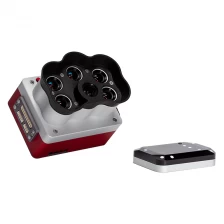
High Resolution Panchromatic Band Multispectral Mica Sense Camera Rededge-P
Single camera solution for tuned high resolution synchronous capture
Multispectral and RGB images with FOV and capture rates are optimized for efficient flights.
More
-
-
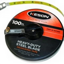
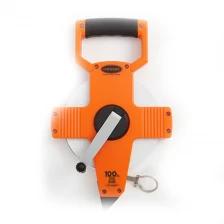
durable metal housing standard Steel Tape (ST) series tapes Keson
Our standard Steel Tape (ST) series tapes come in the industry’s most durable metal housing.
More
-
-
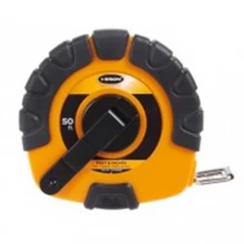
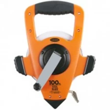
Keson ST3X Series 50' Steel Blade Measuring Tape with Speed Rewind
This Steel Tape (ST_3X and ST_Y) series is great for those who need a longer tape but like the blade protection that a closed house offers.
More
-
-
high quality Keson NR Series Steel Blade Measuring Tape with Hook End - Feet, Inches, 8ths
NYLON-REINFORCED STEEL BLADE, STANDARD REWIND
More
-
-
Original high quality Keson NRS Series Steel Long Tape Measures
NYLON-REINFORCED STEEL BLADE, 3X HIGH-SPEED REWIND
More
-
-
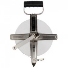
Stainless Steel Housing Nylon-reinforced Steel Bade Long Tape Measures
STAINLESS STEEL HOUSING, NYLON-REINFORCED STEEL BLADE
More
-
-
POCKET RODS
This unique grading rod is compact like a tape measure.
More
